What is recorded here
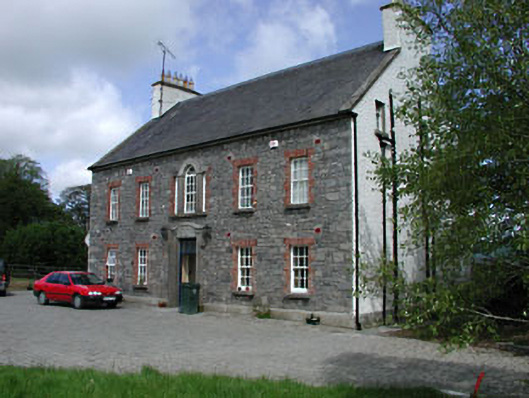
A disused trackway (Wth 3-5m) is traceable E-W (L c. 150m) and is defined on either side by a very low scarp. It forks at its E end; one section heading NE and the other SE. It avoids, passing to the N of, a possible ecclesiastical enclosure (KD003-002001-) containing a church (KD003-002002-) and a graveyard (KD003-002003-) and may have been associated with 'Kilrainy House' to the S.
Compiled by: Gearóid Conroy
Date of upload: 10 June 2011
The monument record does not grant public access. Check the route and ask the landowner before entering private land.
- What survives
- Recorded monument
Places near here
 Site of ChapelChurch · 89 yd
 Ecclesiastical enclosure in KilrainyEcclesiastical enclosure · 104 yd
 Saint Brigid's Catholic Churchchurch/chapel · 1190 yd
 Site of Balrinnet CastleCastle, unclassified · 1700 yd
 CastleCastle, unclassified · 1757 yd
 Bog WoodsWood · 1.3 mi
 Buggan's WoodWood · 1.4 mi
 Kilglass Househouse · 1.6 mi
 Croppies' GraveMemorial · 2.2 mi
 The Fairy BowerHeritage attraction · 9.6 mi
 Lullymore Heritage ParkHeritage attraction · 9.6 mi
 Grand Canal WayVisitor information · 12 mi