What is recorded here
Possibly the original access route to/from an early monastic site (KD011-002----) and visible on three aerial photographs (CUCAP AHK 11 (1963); AYR 52 (1969); BDU 45 (1970)). A broad trackway (Wth 6m N-S) is defined along it's N and S sides by a low, intermittent, earthen bank (av. Wth 4m along N; 2.2m along S; H 0.2m) which is reduced to a scarp (H 0.2m) in several places. It is traceable E-W (L 38m) and is truncated at E by the outer enclosure (KD011-002001-) of the possible early monastic site, which suggests that it may predate that enclosure and belong to an earlier phase of the monastery. At it's W end it stops at a modern field boundary and there is no obvious visible surface trace of the monument beyond to the W.
Compiled by: Gearóid Conroy
Date of upload: 10 June 2011
The monument record does not grant public access. Check the route and ask the landowner before entering private land.
- What survives
- Recorded monument
Places near here
 Church (in Ruins)Church · 59 yd
 Ecclesiastical enclosure in Kilmacredock UpperEcclesiastical enclosure · 70 yd
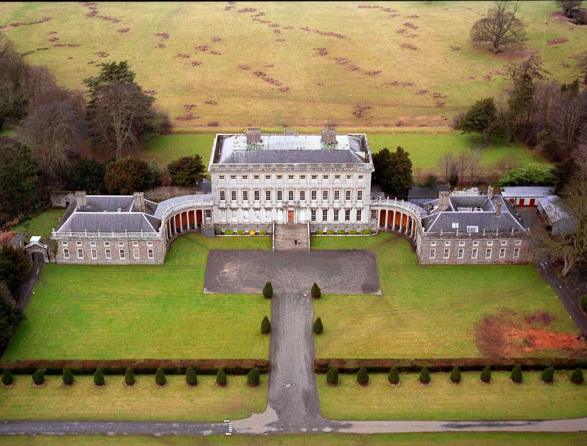 Enclosure in CastletownEnclosure · 741 yd
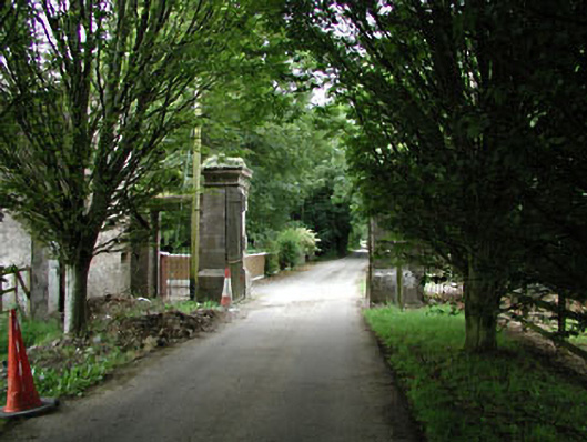 Castletowndemesne walls/gates/railings · 1060 yd
 Conolly's FollyHeritage attraction · 1612 yd
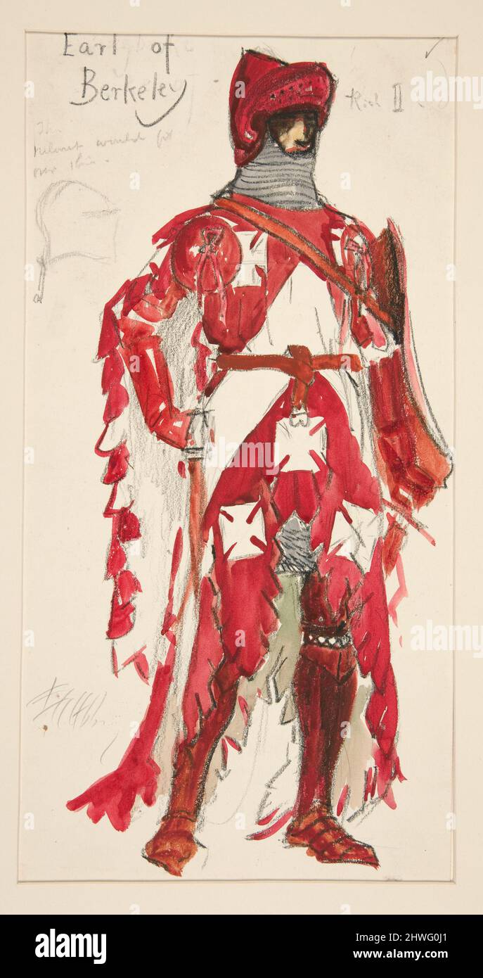 Berkeley Costume and Toy CollectionMuseum · 1.1 mi
 CastleCastle, unclassified · 1.1 mi
 Natalie MurrayMemorial · 1.2 mi
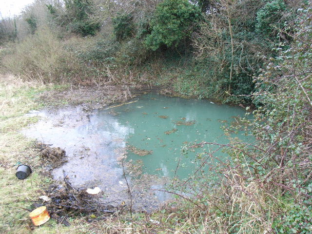 Leixlip Spa - SpringSpring · 1.5 mi
 European YewEuropean Yew · 1.5 mi
 Batty Langley WoodsForest · 1.5 mi
 Arthur GuinessMemorial · 1.6 mi