What is recorded here
In pastureland, c. 60m to the E of Kilclooy Castle (GA016-062001-). Aerial reconnaissance (CUCAP ATF 57) in July 1967 brought to light a field system (GA016-062002-) and an old roadway to its E. The roadway ran roughly SSE-NNW (L c. 140m) and then kinked to a more NNE direction (L c. 100m) and continued on to the old Galway-Tuam road. On inspection in November 1990, only traces (Wth 5m) of it were visible. Current aerial imagery (OSi DigitalGlobe 2011-2013) indicates that the re-aligned N17 cuts through its N limits.
Compiled by: Olive Alcock
Date of upload: 6 December 2022
The monument record does not grant public access. Check the route and ask the landowner before entering private land.
- What survives
- Recorded monument
Places near here
 Bawn in Kilcloony (dunmore By.)Bawn · 28 yd
 Cross in Kilcloony (dunmore By.)Cross · 531 yd
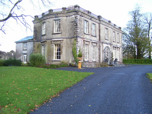 Quarrymount Househouse · 596 yd
 Enclosure in Kilcloony (clonmacnowen By.),quarrymountEnclosure · 695 yd
 IndicatedHouse, indeterminate date · 1.3 mi
 Fartamore Castle in ruinsCastle, tower house · 2.1 mi
 European ashEuropean ash · 3.7 mi
 Mass RockNamed rock · 5.2 mi
 KnockmaaWood · 8.6 mi
 Otter IslandIslet · 17 mi
 Oileán an AoilIsland · 17 mi
 Field system in Clashaganny (dunmore By.),kilphrasogaField system · 798 yd