What is recorded here
On the W bank of the Upper Fergus estuary adjacent to Islandmagrath townland. Listed in the RMP (1996) as ‘Jetty, possible’. Described by O’Sullivan (2001, 297) as Late Bronze Age ‘post-and-wattle structures running diagonally down foreshore of estuarine clays, oriented WNW-ESE, c. 35m long, c. 2m wide. Two vertical or obliquely set post-and-wattle fences have horizontal wattle panels and brushwood laid between them. A withy tie was found at the WNW end. A rod was radiocarbon-dated to 2540 +/- 20 BP (797-551 cal. BC; GrN-20974). August 1994; last visited November 1995.' Excavated in 2004 by A. O’Sullivan (04E0738). (O'Sullivan 2001, 107-20, 297, Fergus estuary west 1; O’Sullivan 2007, 37-8, no. 161; O'Sullivan 2010, 29-32)
Compiled by: Mary Tunney
Date of upload: 27 August 2019
The monument record does not grant public access. Check the route and ask the landowner before entering private land.
- What survives
- Recorded monument
Places near here
 LissanFairy fort / stone ringfort · 1.4 mi
 Enclosure in KnockanimanaEnclosure · 1.5 mi
 HawthornHawthorn · 1.5 mi
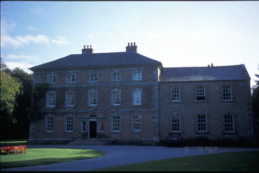 Carnelly Housecountry house · 1.5 mi
 Latoon Bridgebridge · 1.6 mi
 Castle (Site of)Castle, unclassified · 1.7 mi
 Irish Famine MemorialMemorial · 1.9 mi
 G.A.A. Commemorative StoneMemorial · 1.9 mi
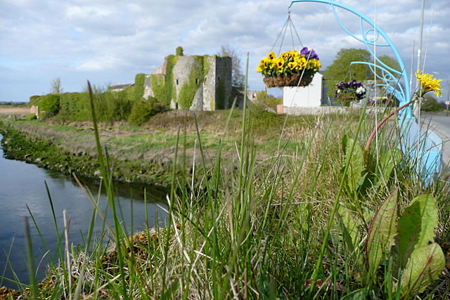 Clare CastleCastle · 1.9 mi
 Killone AbbeyHeritage attraction · 2.3 mi
 Abbey WoodForest · 2.4 mi
 Alice and Gwendoline CaveMuseum · 2.9 mi