What is recorded here
A map of the townlands of Glanagh from August 1711 (NLI 21.F.129) shows a road which cannot be precisely located and is indicated west of the meeting place of Glenough Lower and Doorish. The exact location of this monument is unknown.
Compiled by: Jean Farrelly
Date of upload: 26 August 2011
The monument record does not grant public access. Check the route and ask the landowner before entering private land.
- What survives
- Recorded monument
Places near here
 IndicatedEnclosure, large enclosure · 1.1 mi
 Field system in Carrow (donohill Par.)Field system · 1.1 mi
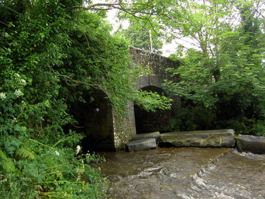 Rossmore Bridgebridge · 1.2 mi
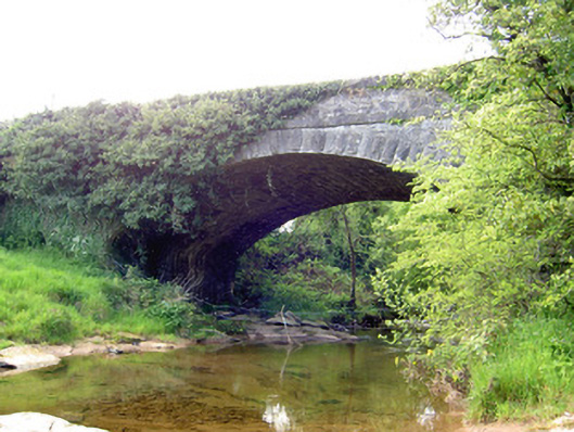 Carrow Bridgebridge · 1.4 mi
 Ring HillMountain / peak · 1.8 mi
 Drum WoodWood · 2.3 mi
 GlenaneaghMountain / peak · 2.5 mi
 Gortard WoodForest · 3.0 mi
 Ballagh CastleCastle · 3.1 mi
 Graigone Castle (in ruins)House, fortified house · 3.9 mi
 I.R.A. 3rd. Tipperary Brigade MemorialMemorial · 10 mi
 It's a long way to TippereryHeritage attraction · 11 mi