What is recorded here
Identified during an aerial photographic survey by Dr. Gillian Barrett on 13 July 1990. Aerial photograph (GB90.BC.34) shows cropmark of two parallel fosses defining a trackway with an estimated visible length of c. 40m. A cartographic representation of this monument in its landscape context is included in the following:
Barrett, G.F. (2006) 'Discovering Kildare's 'hidden' landscapes: archaeological air survey, 1989-2000'. In Nolan, W. and McGrath, T. (eds.), County Kildare: History and Society, Geography Publications, Dublin, pp. 69-95. ISBN 978-0-906602-57-7.
Barrett , G.F. '(2002) Flights of discovery: archaeological air survey in Ireland, 1989-2000' in The Journal of Irish Archaeology, XI, 2002. 1-30
Barrett, G.F. (2000) 'Lufterkundung und-bilder als Forshungsmethode bei Untersuchungen und Management von Kultulandschaften: ein irisches Beispel' in H. Behm (ed.) Kulturelles Erbe - Landschaften im Spannungsfeld zwischen Zerstörung und Bewahrung, Wittenburg, Germany: Pro Art Verlag, pp. 87-106, ISBN 3-00-006359.
Compiled by: Dr. Gillian Barrett
Date of upload: 13 December 2011
The monument record does not grant public access. Check the route and ask the landowner before entering private land.
- What survives
- Recorded monument
Places near here
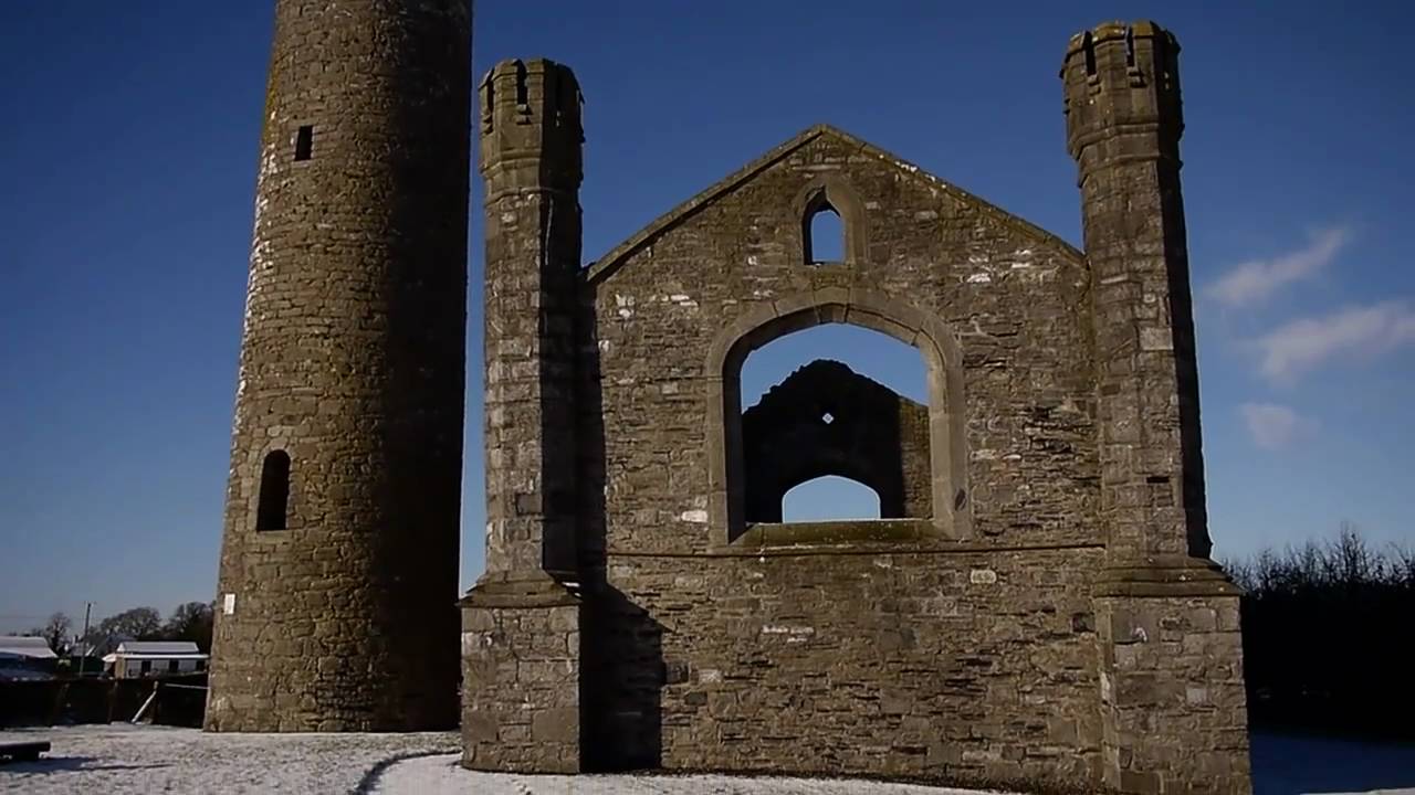 Church (in Ruins)Church · 168 yd
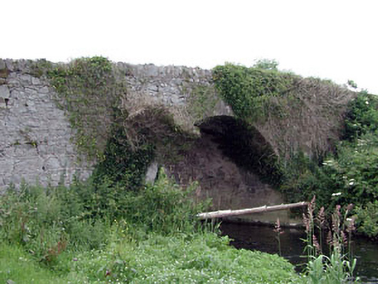 Newtown Bridgebridge · 237 yd
 Enclosure in BlackcastleEnclosure · 321 yd
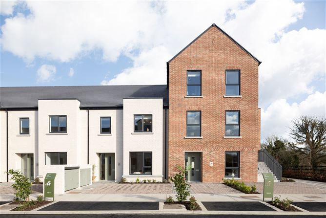 Enclosure in NewtownpilsworthEnclosure · 947 yd
 Castle in ruinsCastle, unclassified · 1718 yd
 Castle (in ruins)Castle, tower house · 1.5 mi
 Oak Park Forest ParkWood · 2.3 mi
 Pedunculate OakPedunculate Oak · 2.3 mi
 Lorcán Ó TuathailMemorial · 3.1 mi
 ProclamationMemorial · 3.3 mi
 Franciscan FriaryHeritage attraction · 3.5 mi
 Castledermot Round TowerHeritage attraction · 3.7 mi