What is recorded here
On a W-facing slope, in pasture. Listed in the SMR (1987) as 'Road (s)' and in the RMP (1996) as 'Earthwork site'. Identified on an aerial photograph (GSI roll 43, print 26) as a linear feature running NW-SE from the NNW sector of a large enclosure (KK008-095001-). On field inspection in 1987 this feature was not visible at ground level. The feature (Wth c. 18m) was also identified as a cropmark on another aerial photograph (GB91.EU.13, 20 August 1991) consisting of two parallel ditches running for c. 150m. Two field boundaries appear to be running from the N-NE quadrant of the enclosure, probably the remains of a relict field system.
Compiled by: Jean Farrelly
Date of upload: 16 January 2018
The monument record does not grant public access. Check the route and ask the landowner before entering private land.
- What survives
- Recorded monument
Places near here
 Enclosure in BallyspellanEnclosure · 139 yd
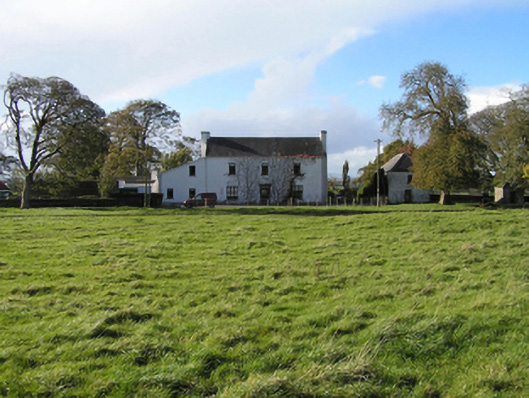 Ballyspellan Housefarm house · 284 yd
 Enclosure in Ballycuddihy (galmoy By.))Enclosure · 1019 yd
 CastleCastle, tower house · 1570 yd
 farm housefarm house · 1.0 mi
 DelaneyMemorial · 1.2 mi
 John HelyMemorial · 1.2 mi
 Grangefertagh Castle (site)Archaeological place · 1.6 mi
 Clomantagh HillMountain / peak · 1.9 mi
 Street fieldArchaeological place · 1.9 mi
 Kildrinagh WoodForest · 5.1 mi
 Anker's IslandIsland · 8.3 mi