
What is recorded here
On a W-facing slope, in pasture. Indicated on the 1st (1839) ed. OS 6-inch map as a large oval enclosure (dims. c. 97m NW-SE; c. 75m NE-SW). On field inspection in 1987 traces of this large enclosure (max. dims. c. 92m NW-SE; c. 66m NE-SW) were visible, defined by a low, very wide bank. It has a saucer-shaped interior dipping to the centre. The monument was also identified by on an aerial photograph (GB91.EU.13, 20 August 1991) as an inner (diam. c. 50m) and outer enclosure (diam. c. 100m), the fosses of both being clearly visible as cropmarks. Two field boundaries appear to be running from the N-NE quadrant of the enclosure and a possible roadway (KK008-095002-) runs northwestward from the NNW sector for c. 150m.
Compiled by: Jean Farrelly
Date of upload: 16 January 2018
The monument record does not grant public access. Check the route and ask the landowner before entering private land.
- What survives
- Recorded monument
Places near here
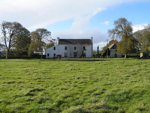 Ballyspellan Housefarm house · 332 yd
 Enclosure in Ballycuddihy (galmoy By.))Enclosure · 884 yd
 Enclosure in RathoscarEnclosure · 1094 yd
 CastleCastle, tower house · 1431 yd
 farm housefarm house · 1.1 mi
 DelaneyMemorial · 1.2 mi
 John HelyMemorial · 1.2 mi
 Grangefertagh Castle (site)Archaeological place · 1.6 mi
 Clomantagh HillMountain / peak · 1.8 mi
 Street fieldArchaeological place · 2.0 mi
 Kildrinagh WoodForest · 5.0 mi
 Anker's IslandIsland · 8.2 mi
Other information
Photo: Credit not shown in the picture search · Rights wording not checked; contact us if this picture should be removed