What is recorded here
Aerial photograph (GB89.R22.) shows the cropmark of two long, parallel fosses defining a trackway running N to S, immediately west of an enclosure (KD039-023----).
Compiled by: Dr. Gillian Barrett
Date of upload: 13 December 2011
The monument record does not grant public access. Check the route and ask the landowner before entering private land.
- What survives
- Recorded monument
Places near here
 Enclosure in Ballaghmoon CastleEnclosure · 100 yd
 Oak Park Forest ParkWood · 284 yd
 Enclosure in KnocknageeEnclosure · 700 yd
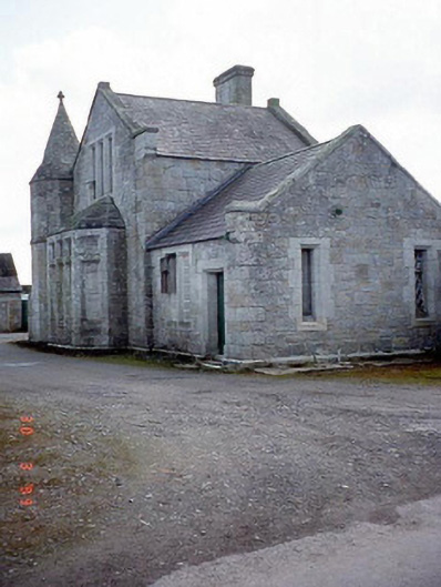 Oak Park Housedairy · 1154 yd
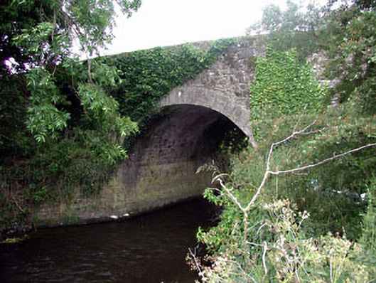 Ballaghmoon Bridgebridge · 1459 yd
 Gorteen MoundCastle, unclassified · 1.3 mi
 Church (in ruins), GraveyardChurch · 1.4 mi
 White willowWhite willow · 1.5 mi
 CastleCastle, unclassified · 1.6 mi
 Brownshill Portal TombVisitor information · 2.3 mi
 VISUAL Centre for Contemporary ArtGallery · 2.4 mi
 ProclamationMemorial · 3.7 mi