What is recorded here
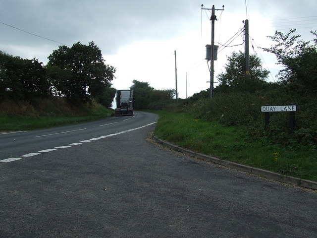
On the E bank of the N-S River Suck, at a point where it turns W. There are fragments of old field banks (Wth c. 2m; H 0.2-0.4m) covering c. 8 ha to the N and E of the walled garden (RO041-048014-), including an E-W roadway (Wth 6.5m; L c. 100m) defined by earthen banks and outer ditches. This is probably part of an old road pre-dating the development of the village connecting the roads from Ballygar and Roscommon in a smooth curve.
Compiled by: Michael Moore
Date of upload: 24 August 2010
The monument record does not grant public access. Check the route and ask the landowner before entering private land.
- What survives
- Recorded monument
Places near here
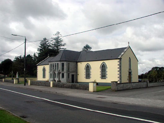 Saint Patrick's Catholic Churchchurch/chapel · 120 yd
 aviary/dovecote/pigeon houseaviary/dovecote/pigeon house · 147 yd
 CastleHouse, fortified house · 305 yd
 IndicatedFairy fort / earthen ringfort · 1387 yd
 European Crab AppleEuropean Crab Apple · 1670 yd
 Stone CrossCross, Wayside cross · 1672 yd
 Sally IslandIslet · 2.8 mi
 Castle KellyCastle, tower house · 3.5 mi
 European YewEuropean Yew · 3.6 mi
 Roscommon CastleCastle · 5.3 mi
 Mount MaryMountain / peak · 5.5 mi
 Inchnaveague IslandIslet · 5.8 mi
Other information
Photo: Credit not shown in the picture search · Rights wording not checked; contact us if this picture should be removed