What is recorded here
Located at the bottom of a steep NE-facing slope with a small SE-NW section of a stream c. 10-20m to the NE. It is depicted as a linear feature (L c. 250m) only on the 1907 edition of the OS 6-inch map. This is an overgrown abandoned roadway (Wth 6.5m) flanked by a scarp (H c. 2.5m) upslope at the base of the hill (surviving L c. 75m) and having a low earthen bank (Wth c. 2m; H 0.4m) over a scarp (Wth 5m; H 2.6m) on the lower side with a berm (Wth c. 4m) separating it from the stream. The relict road runs parallel with the present R204 Carrigallen to Ballinamore road. It was reputed locally in the 1940s (SMR file) to have been a famine road that was never completed. Other sections continue it c. 300m to the N (LE030-005---) on the E bank of the stream, and c. 1.5km to SE (LE030-029---).
The above description is derived from 'The Archaeological Inventory of County Leitrim' compiled by Michael J. Moore (Dublin: Stationery Office, 2003). In certain instances the entries have been revised and updated in the light of recent research.
Compiled by: Michael Moore
Date of revised upload: 14 October 2019
The monument record does not grant public access. Check the route and ask the landowner before entering private land.
- What survives
- Recorded monument
Places near here
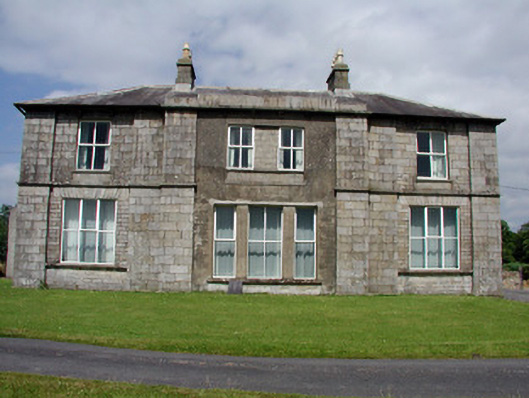 Druminshin Glebe Houserectory/glebe/vicarage/curate's house · 484 yd
 Mass-rock in Annagh (carrigallen By.)Mass-rock · 1.1 mi
 King's GraveArchaeological place · 1.2 mi
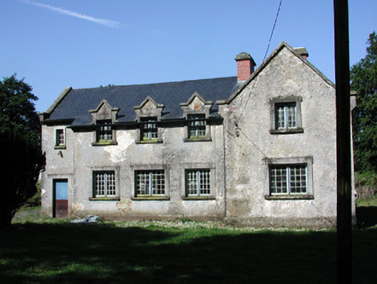 schoolschool · 1.5 mi
 Mass-rock (present location) in DrumeelaMass-rock (present location) · 1.7 mi
 European YewEuropean Yew · 1.9 mi
 Pedunculate OakPedunculate Oak · 1.9 mi
 DrummuckerMountain / peak · 2.2 mi
 DrumbreanlisMountain / peak · 2.6 mi
 Swan Island pet farmHeritage attraction · 3.6 mi
 Crane IslandIslet · 3.8 mi
 BatteryBawn · 3.8 mi