What is recorded here
Located at the bottom of an E-facing slope on the E bank of a S-N stream. It is depicted as a linear feature only on the 1907 edition of the OS 6-inch map. This is an overgrown disused roadway (Wth 7-9m) extending N-S (L c. 550m), which is flanked by an earthen scarp and a low earth and stone bank on the W side. The relict road runs parallel with the present R204 Carrigallen to Ballinamore road but from the N end of this section a minor road runs N to Newtown Gore and the relict road is probably part of that road. It was reputed locally in the 1940s (SMR file) to have been a famine road that was never completed. Two other sections (LE030-018--- and LE030-029---) continue the road further south.
The above description is derived from 'The Archaeological Inventory of County Leitrim' compiled by Michael J. Moore (Dublin: Stationery Office, 2003). In certain instances the entries have been revised and updated in the light of recent research.
Compiled by: Michael Moore
Date of revised upload: 10 October 2019
The monument record does not grant public access. Check the route and ask the landowner before entering private land.
- What survives
- Recorded monument
Places near here
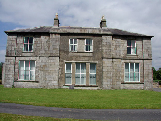 Druminshin Glebe Houserectory/glebe/vicarage/curate's house · 1048 yd
 Mass-rock in Annagh (carrigallen By.)Mass-rock · 1.5 mi
 King's GraveArchaeological place · 1.5 mi
 Mass-rock (present location) in DrumeelaMass-rock (present location) · 1.6 mi
 Saint Columba's Church (Drumreilly)church/chapel · 1.6 mi
 Pedunculate OakPedunculate Oak · 2.0 mi
 DrummuckerMountain / peak · 2.0 mi
 European YewEuropean Yew · 2.3 mi
 DrumbreanlisMountain / peak · 3.0 mi
 Swan Island pet farmHeritage attraction · 3.2 mi
 Crane IslandIslet · 3.4 mi
 BatteryBawn · 3.4 mi