What is recorded here
Situated on a gentle S-facing slope. Earthworks in the field E of the great Dowth passage tomb (ME020-017----) have been resolved by oblique aerial photography and LiDAR imagery (Davis 2018) into a post-medieval field system (ME020-016001-) at NW, a ring-ditch (ME020-016004-) and a hollow way or sunken road (Wth c. 2m; D 0.3m) defined by low banks (Wth c. 2m; H c. 0.3m) that runs NW-SE (L c. 150m) just to the NE of the passage tomb. It runs between the passage tomb and the ring-ditch, indicating that the latter was probably an extant barrow when it was in use, and it leads directly to the medieval parish church of Dowth (ME020-019----).
Compiled by: Michael Moore
Date of upload; 10 September 2018
The monument record does not grant public access. Check the route and ask the landowner before entering private land.
- What survives
- Recorded monument
Places near here
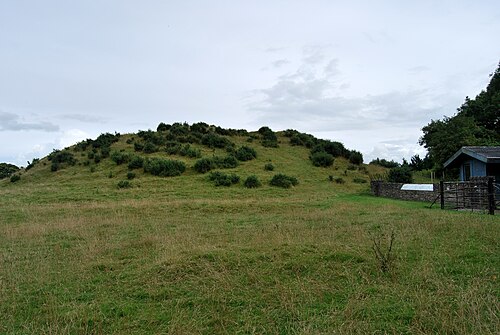 DowthNeolithic passage tomb · 186 yd
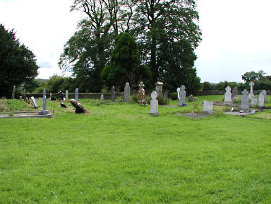 Netterville Manorgraveyard/cemetery · 209 yd
 St. Bernards WellHoly well · 213 yd
 Church (in Ruins)Church · 221 yd
 Dowth CastleCastle, tower house · 252 yd
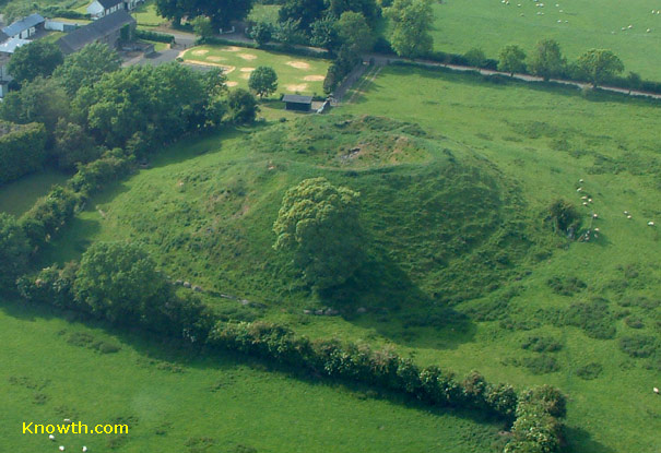 Concentric enclosure in DowthConcentric enclosure · 980 yd
 Brú na Bóinne Visitor Centre AccessHeritage attraction · 1230 yd
 Brú na Bóinne Visitors CentreVisitor information · 1313 yd
 Glenmore ForestWood · 1723 yd
 Proudfootstown CastleCastle, unclassified · 1.0 mi
 European YewEuropean Yew · 1.6 mi
 Battle of the BoyneMajor battlefield · 1.7 mi