What is recorded here
A limestone trackway excavated by Emer Dennehy (02E0670) and described as 'a trackway composed of two courses of fractured limestone bedrock, measuring 10m north-south by 15.5m. It served to connect the roasting pits of Area B to the debris mound of Area A. The need for the construction of the trackway arose during Phase 2 of the history of the site. It provided a secure, level footing to combat adverse weather conditions, the encroachment of peat and the seasonal flooding from the nearby stream.' This description is posted on the web at the following internet address (accessed 2 August 2012): http://www.excavations.ie/
Compiled by: Denis Power
Date of Upload: 2 August 2012
A Neolithic trackway; dates to the 4th–3rd millennium BCE. It is significant as an early infrastructure feature facilitating movement across a peatland, indicating organized land use and resource exploitation in the Neolithic period.
The monument record does not grant public access. Check the route and ask the landowner before entering private land.
- What survives
- Recorded monument
Places near here
 IndicatedFairy fort / stone ringfort · 649 yd
 Furnace in MulderricksfieldFurnace · 765 yd
 Dysert Castle (in ruins)Castle, tower house · 1076 yd
 Dysert CastleCastle · 1078 yd
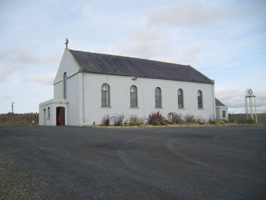 Saint Senan's Catholic Churchchurch/chapel · 1605 yd
 Robertstown Church (in ruins)Church · 1644 yd
 Foynes Flying Boat & Maritime MuseumMuseum · 2.6 mi
 Gammarel PointHeadland · 2.6 mi
 Holly IslandIslet · 2.6 mi
 Foynes Island ViewpointViewpoint · 2.8 mi
 Aughinish PointHeadland · 3.1 mi
 Foynes IslandIsland · 3.1 mi