
What is recorded here
Atop rise, in terrain sloping gently down to E. Roughly circular slightly raised area (20m N-S; 18m E-W) enclosed by collapsed and overgrown dry-stone wall (int. H 1.7m; ext. H 1.4m; Wth top 1.2m), with external fosse (D 0.6m; Wth base 1m) NW->NE. Wall barely detectible NE->SE due to collapse. Interior overgrown and littered with loose stones, slopes down gently to S.
Compiled by: Denis Power
Date of upload: 26 August 2011
The monument record does not grant public access. Check the route and ask the landowner before entering private land.
- What survives
- Recorded monument
Places near here
 Furnace in MulderricksfieldFurnace · 286 yd
 Dysert Castle (in ruins)Castle, tower house · 717 yd
 Dysert CastleCastle · 717 yd
 Enclosure in CraggsEnclosure · 1062 yd
 Robertstown Church (in ruins)Church · 1.2 mi
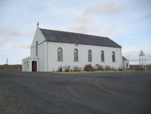 Saint Senan's Catholic Churchchurch/chapel · 1.2 mi
 Holly IslandIslet · 2.3 mi
 Gammarel PointHeadland · 2.7 mi
 Foynes Flying Boat & Maritime MuseumMuseum · 2.7 mi
 Aughinish PointHeadland · 2.8 mi
 Tummera LittleIslet · 2.9 mi
 Foynes Island ViewpointViewpoint · 2.9 mi
Other information
Photo: Credit not shown in the picture search · Rights wording not checked; contact us if this picture should be removed