What is recorded here
This gravel road (Wth 2-2-2.7m; T 0.27m; L 30m min.) was composed of compact sandy gravel with occasional larger stone inclusions. It was orientated WNW-ESE and was visible at three sightings, on the surface and in drain faces across three production fields. It was located at the N end of Mountdillon Bog where it extended into the bank face at the eastern limit of the bog. The uncut bog into which the site continues extends for approximately 40m, thereby indicating that the site is most likely preserved in situ within this area. It is very likely to be the sole surviving section of the gravel road (RO030-015----) which extended E-W across the bog in the 1950s. (Whitaker 2011; Rohan and Whitaker 2020)
Compiled by: Michael Moore/Jane Whittaker
Date of upload: 20th June, 2011.
Amended: 29 October 020
The monument record does not grant public access. Check the route and ask the landowner before entering private land.
- What survives
- Recorded monument
Places near here
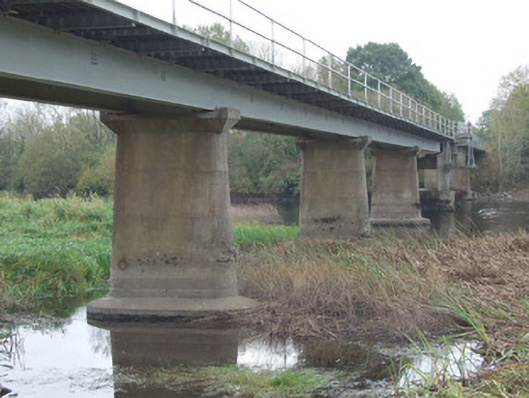 bridgebridge · 1.6 mi
 RoadRoad, gravel/stone trackway, peatland · 1.9 mi
 Enclosure in BallynakillEnclosure · 2.7 mi
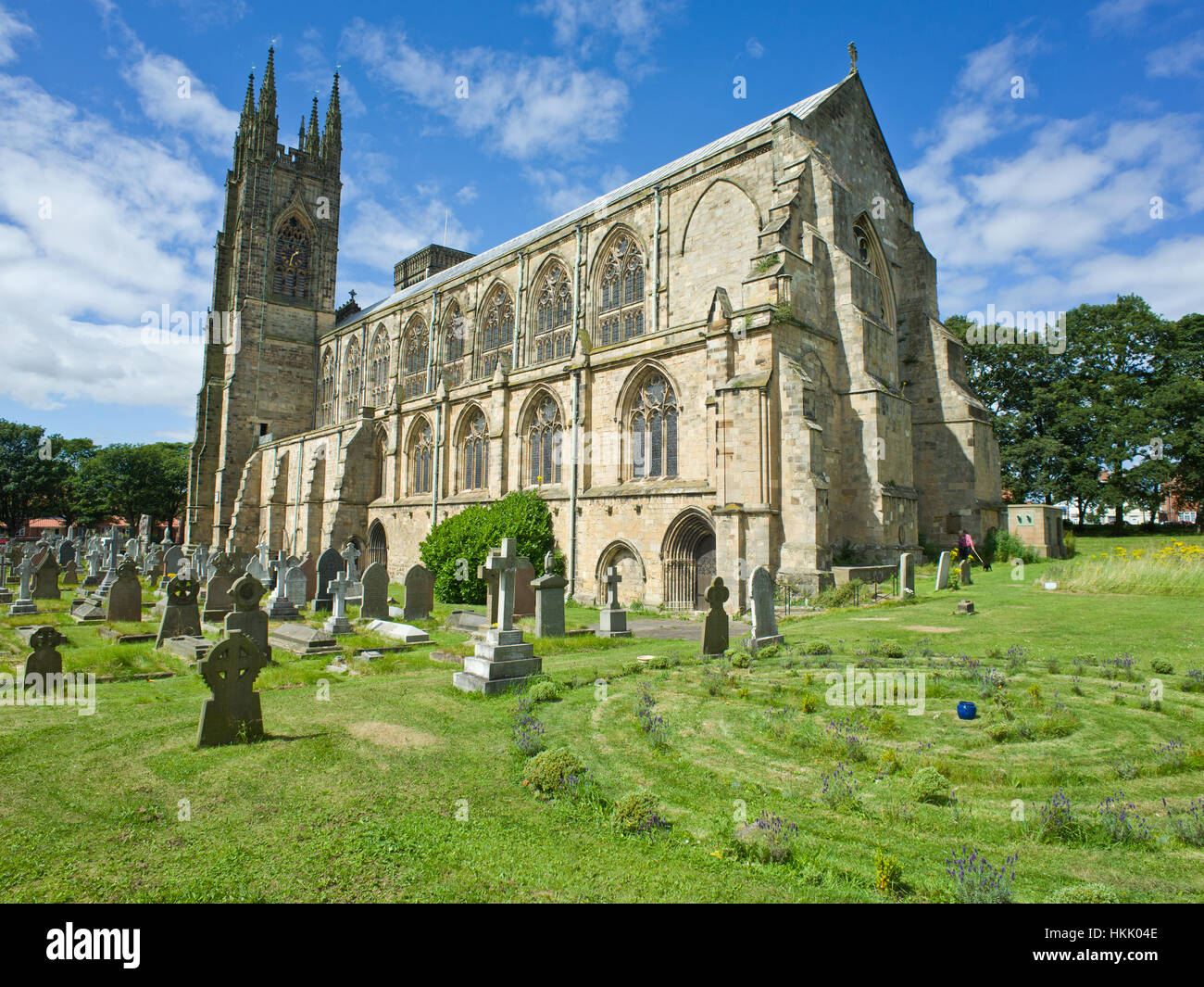 Grave YardGraveyard · 2.7 mi
 Doughill ForestForest · 3.7 mi
 Commons North WalkVisitor information · 3.7 mi
 Slieve BawnMountain / peak · 3.8 mi
 Wild birdsVisitor information · 4.0 mi
 Ballyclare IslandIslet · 4.2 mi
 White Sand WoodWood · 4.6 mi
 St. Barry's WellSpring · 4.9 mi
 Rathcline CastleBawn · 5.0 mi