What is recorded here
The site (Wth 2.2m; D 0.3m) is orientated NW-SE and is exposed at the centre of a field. The upper portions of the structure consist of very fine sand and small stones. Towards the base of the structure the stone size (diam. 0.08m max.) increases with a corresponding increase in the compaction of the gravel. Individual stones were rounded and sub-angular in shape.
Compiled by: Irish Archaeological Wetland Unit, UCD.
Date of upload: 24 August 2010
The monument record does not grant public access. Check the route and ask the landowner before entering private land.
- What survives
- Recorded monument
Places near here
 Ardcarn IslandsIslet · 1.2 mi
 Kilbegly WellHoly well · 1.3 mi
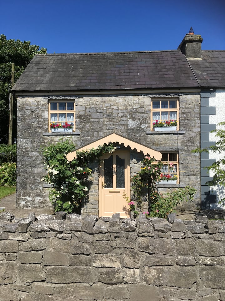 Ardcarn Ho.House, 18th/19th century · 1.4 mi
 Kilbegly ChurchChurch · 1.4 mi
 Embanked enclosureFairy fort / earthen ringfort · 1.9 mi
 Bawn in Townparks (moycarn By. - Ballinasloe)Bawn · 2.9 mi
 Tonvee CastleCastle, unclassified · 3.0 mi
 Split HillMountain / peak · 3.1 mi
 Sugarloaf HillMountain / peak · 3.9 mi
 West WoodWood · 4.6 mi
 Long IslandIsland · 4.6 mi
 Shannonbridge - Nearby AttractionsVisitor information · 4.8 mi