What is recorded here
The site (Wth 1.06m; D 0.11m) is orientated NW-SE and consists of silty clay running across the bog. It is visible in several sections. At the centre of the bog the structure drops below the level of the drains. Small red pebbles have rotted and leached through the structure.
Compiled by: Irish Archaeological Wetland Unit, UCD.
Date of upload: 24 August 2010
The monument record does not grant public access. Check the route and ask the landowner before entering private land.
- What survives
- Recorded monument
Places near here
 Split HillMountain / peak · 362 yd
 Holy StoneCross, Wayside cross · 1.4 mi
 IndicatedHoly well · 1.4 mi
 Church (in Ruins)Religious house, Augustinian, of Arrouaise nuns · 1.5 mi
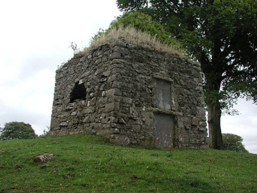 St. George Mausoleummausoleum · 1.5 mi
 Sugarloaf HillMountain / peak · 1.6 mi
 Long IslandIsland · 1.6 mi
 Cloonburren MoteCastle, motte and bailey · 1.6 mi
 Shannonbridge - Nearby AttractionsVisitor information · 1.9 mi
 BarracksCastle, unclassified · 1.9 mi
 Devenish IslandIsland · 2.2 mi
 HawthornHawthorn · 3.8 mi