What is recorded here
The site (L 28.87m; Wth 0.8m; D 0.18m) is orientated NNE-SSW on the field surface and in opposing drain faces. It consists of brushwood, laid three pieces deep, roundwoods and occasional twigs. The elements are closely set and longitudinally laid. The edges of the site appear to be bounded by the roundwoods. Only one degraded metal toolmark is evident. At the two most S sightings it is of less substantial construction. Here it consists of isolated roundwoods and brushwood. Machine damage is evident at these sightings however and it is likely that some of the original material has been dislodged. The site is situated in poorly humified Sphagnum peat Menyanthes seeds.
Compiled by: Irish Archaeological Wetland Unit (University College Dublin).
Date of upload: 23 May 2011
The monument record does not grant public access. Check the route and ask the landowner before entering private land.
- What survives
- Recorded monument
Places near here
 IndicatedHouse, 17th century · 725 yd
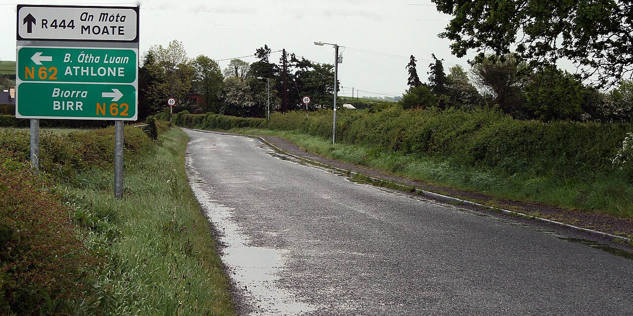 RoadRoad, class 2 togher · 892 yd
 StructureStructure, peatland · 1012 yd
 Kilnagarnagh Old Ho.Castle, unclassified · 1.1 mi
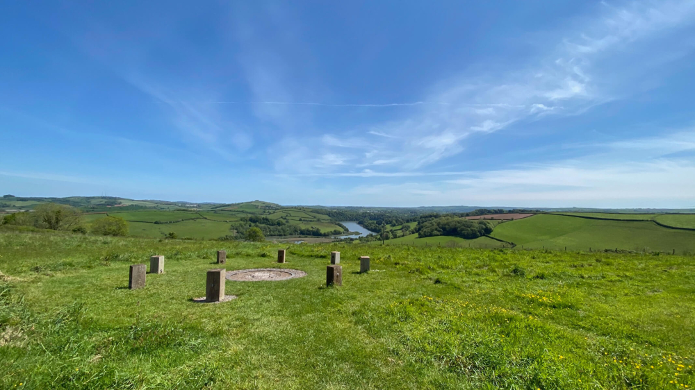 Killaghintober Burial GdBurial ground · 1.3 mi
 Castle ArmstrongHouse, fortified house · 1.5 mi
 European ashEuropean ash · 1.7 mi
 Saint Reaghan's WellSpring · 3.5 mi
 Ballylin Bog BoardwalkHeritage attraction · 3.6 mi
 Endrim HillMountain / peak · 3.6 mi
 Cocta HillMountain / peak · 3.8 mi
 Inchaloon IslandIslet · 4.1 mi