What is recorded here
The site (L 72.03m min.; Wth 0.8m min.; D 0.27m) is orientated ENE-WSW and consists of a compact layer of transversely laid mixed brushwood and heavy roundwoods, 2-3 elements deep. The larger components of the site are predominantly situated on the S side of the site. The wood is in good condition with evidence of woodworking in the form of chisel shaped worked ends and branch trimming. This site was in moderately humified Sphagnum peat with some root matter and Eriophorum. A sample from this site has been radiocarbon dated to cal. AD 669-955 (Beta-118035).
Compiled by: Irish Archaeological Wetland Unit (University College Dublin).
Date of upload: 23 May 2011
The monument record does not grant public access. Check the route and ask the landowner before entering private land.
- What survives
- Recorded monument
Places near here
 RoadRoad, class 3 togher · 359 yd
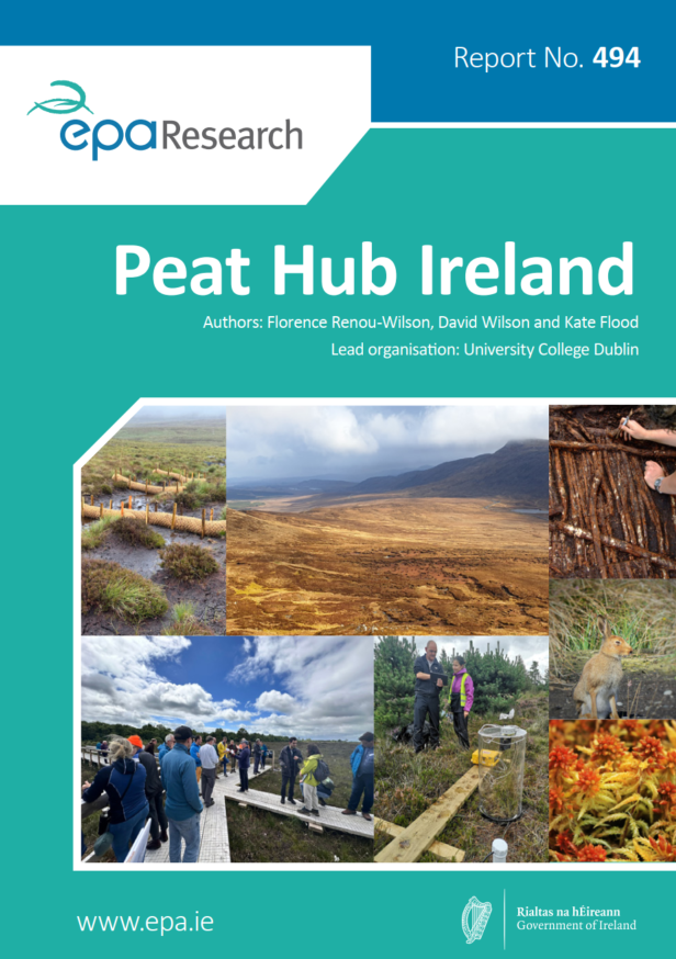 StructureStructure, peatland · 384 yd
 Lemanaghan CastleCastle, tower house · 1759 yd
 FontFont · 1.0 mi
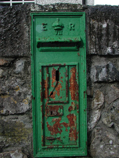 post boxpost box · 1.0 mi
 European ashEuropean ash · 1.0 mi
 Kilcolgan Castle (in Ruins), Tower (in Ruins)Bawn · 1.2 mi
 Saint Reaghan's WellSpring · 2.3 mi
 Cocta HillMountain / peak · 2.3 mi
 Ballylin Bog BoardwalkHeritage attraction · 2.8 mi
 Endrim HillMountain / peak · 3.7 mi
 Inchaloon IslandIslet · 4.9 mi