What is recorded here
The site (L 56.80m; Wth 0.29m; D 0.035m) is orientated ENE-WSW. At its centre the it is constructed of three radially split longitudinal planks, two of which are closely laid with the third 1.51m to the E. Five squared pegs, set between 85-90°, flank the edges of the site. One of these is fixed in position with a small trapezoidal wedge. The timbers are in very poor condition but the pegs are well preserved. This site lies in well-humified Sphagnum peat with Eriophorum and ericaceous remains. The remaining sightings survive only as squared pegs on the field surface. While some are set between 85-90° many appear to have been displaced and are in almost horizontal positions.
Compiled by: Irish Archaeological Wetland Unit (University College Dublin).
Date of upload: 23 May 2011
The monument record does not grant public access. Check the route and ask the landowner before entering private land.
- What survives
- Recorded monument
Places near here
 RoadRoad, class 2 togher · 456 yd
 Cashlan BrockCastle, tower house · 553 yd
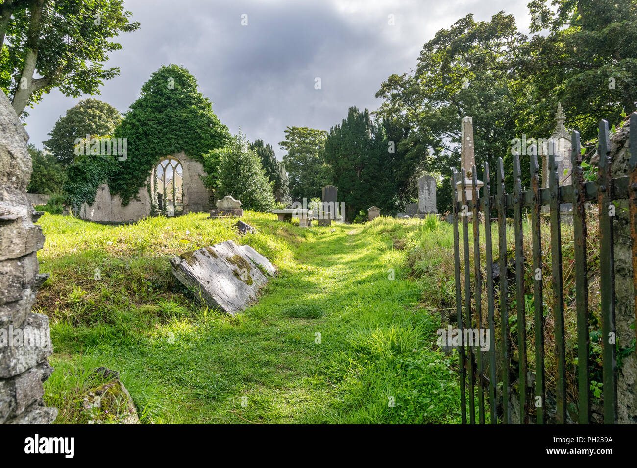 Relic Grave Yard (Disused)Fairy fort / earthen ringfort · 1179 yd
 The Lord's WellSpring · 1411 yd
 StructureStructure, peatland · 1466 yd
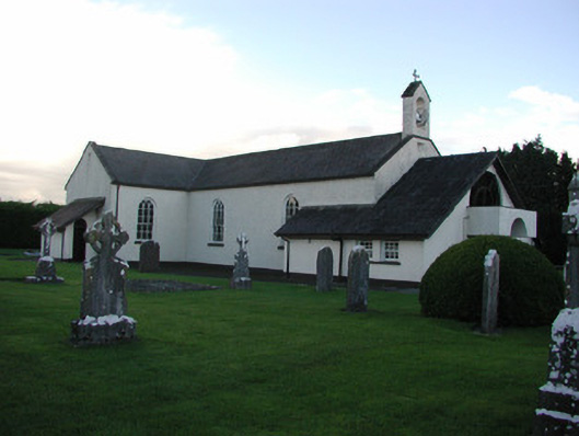 Catholic Church of the Immaculate Conceptionchurch/chapel · 1510 yd
 Raheenakeeran Castle (in ruins)Castle, unclassified · 1600 yd
 Ghaugher HillMountain / peak · 2.7 mi
 Allen family memorial headstoneMemorial · 3.4 mi
 Father BurbageMemorial · 3.5 mi
 Derryounce Lakes & TrailsNature reserve · 3.5 mi
 Geashill Glebe WalkVisitor information · 3.5 mi