What is recorded here
The site (L 14.4m min.; Wth 1.394m; D 0.166m) is orientated NW-SE in the drain face and on the adjacent field surface At one sighting it consists of a dense bed of light brushwood and twigs overlain by heavy brushwood and a single roundwood. All the elements are transversely laid apart from the roundwood and a single piece of heavy brushwood, which are longitudinally laid. In another location, at a slightly lower level, it consists of longitudinal brushwood, a single roundwood and a peg. This material is very fragmentary due to milling and exposure. Woodworking is evidenced by a degraded chisel point. It lies in poorly humified Sphagnum peat with Eriophorum and ericaceous remains. Radiocarbon dated to 1683-1409 cal. BC (Wk-11724).
Compiled by: Irish Archaeological Wetland Unit (University College Dublin).
Date of upload: 23 May 2011
The monument record does not grant public access. Check the route and ask the landowner before entering private land.
- What survives
- Recorded monument
Places near here
 RoadRoad, class 3 togher · 91 yd
 StructureStructure, peatland · 132 yd
 Derrygreenagh HillMountain / peak · 428 yd
 Enclosure in KnockdrinEnclosure · 1254 yd
 Knockdrin HillMountain / peak · 1407 yd
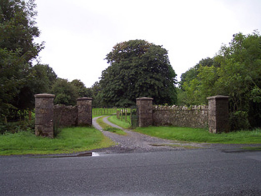 Sidebrook Housegates/railings/walls · 2.0 mi
 Croghan HillMountain / peak · 3.2 mi
 Finnrenashark Holy WellSpring · 3.5 mi
 Croghan Hill WalkVisitor information · 3.5 mi
 OConor Falys or Croghan Castle (in ruins)House, fortified house · 3.6 mi
 Site of Lady Mary Warrens CastleCastle, unclassified · 3.6 mi
 Holy PlantationForest · 3.7 mi