What is recorded here
The site (L 20m min.; D 0.45m) is orientated NNE-SSW exposed on the field surface and a drain face. On the surface it is composed of a series of transverse roundwoods (diam. 0.1m) of ash and oak. In section it consists of a dispersed dump (D 0.25-0.45m) of transverses, longitudinals and uprights including birch and willow brushwood (diam. 0.02-0.03m). Several of the posts are quarter-split ash. Abundant toolmarks were recorded. The extreme length of exposed section (L 20m min.) suggests that the site runs along the length of the drain and it was not possible to ascertain the width.
Compiled by: Irish Archaeological Wetland Unit (University College Dublin).
Date of upload: 23 May 2011
The monument record does not grant public access. Check the route and ask the landowner before entering private land.
- What survives
- Recorded monument
Places near here
 RoadRoad, class 1 togher · 185 yd
 StructureStructure, peatland · 1210 yd
 Field system in ClorhaneField system · 1718 yd
 Leitra CastleCastle, unclassified · 1.0 mi
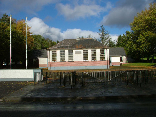 Oliver Plunkett National Schoolschool master's house · 1.2 mi
 Devenish IslandIsland · 1.5 mi
 BarracksCastle, unclassified · 1.5 mi
 Long IslandIsland · 1.5 mi
 Shannonbridge - Nearby AttractionsVisitor information · 1.5 mi
 Sugarloaf HillMountain / peak · 2.6 mi
 HawthornHawthorn · 2.6 mi
 Graveyard in ClonmacnoiseGraveyard · 3.0 mi