
What is recorded here
A single plank walkway (L 580m min.; Wth 0.78m; D 0.27m) traversing a narrow stretch of Blackwater bog in a SE-NW direction from Cloniff to Curraghmore townland. The site consists of a single line of longitudinal planks supported by occasional narrow transverse timbers (L 0.7-0.8m; Wth 0.09m; D0.02m). The ends of the upper planks are morticed and overlap with securing pegs. The transverse substructural timbers are also mortices at the ends but no pegs were recorded where it was investigate. Occasional longitudinal roundwoods flank the site and toolmarks were recorded. Radiocarbon dated to 1676-1430 cal. BC (GrN-21262). (Irish Archaeological Wetland Unit (UCD) 1993, 34-37
Compiled by: Irish Archaeological Wetland Unit (University College Dublin).
Date of upload: 23 May 2011
The monument record does not grant public access. Check the route and ask the landowner before entering private land.
- What survives
- Recorded monument
Places near here
 StructureStructure, peatland · 1319 yd
 Field system in ClorhaneField system · 1533 yd
 Leitra CastleCastle, unclassified · 1750 yd
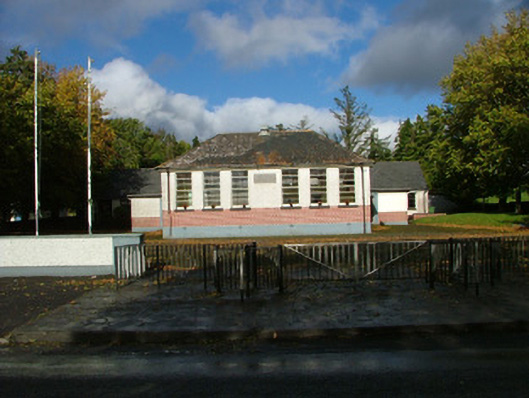 Oliver Plunkett National Schoolschool master's house · 1.2 mi
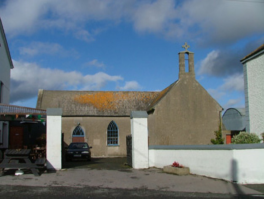 Saint Kieran's Catholic Churchchurch/chapel · 1.3 mi
 Devenish IslandIsland · 1.4 mi
 Long IslandIsland · 1.5 mi
 BarracksCastle, unclassified · 1.5 mi
 Shannonbridge - Nearby AttractionsVisitor information · 1.5 mi
 HawthornHawthorn · 2.5 mi
 Sugarloaf HillMountain / peak · 2.6 mi
 Graveyard in ClonmacnoiseGraveyard · 2.9 mi
Other information
Photo: Credit not shown in the picture search · Rights wording not checked; contact us if this picture should be removed