What is recorded here
The site (L 25.76m min.; Wth 0.65m min.; D 0.28m min.) is orientated N-S and consists of severely damaged longitudinal brushwood and a roundwood. The brushwood (diam. 0.02-0.06m) and roundwood (diam. 0.07m) are regularly spaced, although somewhat disturbed. A peg is evident at the S end of the site. The wood is desiccated and fragmentary and set in moderately to well-humified Sphagnum peat.
Compiled by: Irish Archaeological Wetland Unit (University College Dublin).
Date of upload: 23 May 2011
The monument record does not grant public access. Check the route and ask the landowner before entering private land.
- What survives
- Recorded monument
Places near here
 StructureStructure, peatland · 57 yd
 RoadRoad, unclassified togher · 1490 yd
 Dooneen FortFairy fort / earthen ringfort · 1.0 mi
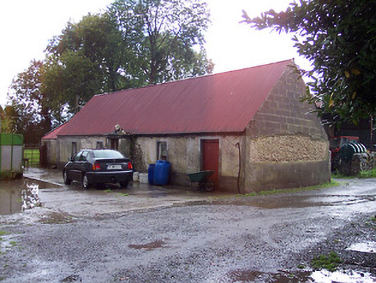 farmyard complex, housefarmyard complex, house · 1.8 mi
 Derrygreenagh HillMountain / peak · 2.0 mi
 OConor Falys or Croghan Castle (in ruins)House, fortified house · 2.4 mi
 Croghan HillMountain / peak · 2.4 mi
 Finnrenashark Holy WellSpring · 2.7 mi
 Croghan Hill WalkVisitor information · 2.8 mi
 Knockdrin HillMountain / peak · 2.9 mi
 Castlelost MoatCastle, motte and bailey · 3.0 mi
 Holy PlantationForest · 4.6 mi