
What is recorded here
On top of a small prominent hillock, 50m N of bogland with good views to S of Croghan Hill, Co. Offaly. Large raised circular area (diam. 50m N-S; 53m E-W) enclosed by an earthen bank mainly reduced to a scarp, a wide fosse and substantial external bank best preserved from S-W-N. There are the remains of a second fosse outside this bank. Causewayed entrance gap (Wth 2.8m) at N. A low platform (dims. 7m SSE-NNW x 7m SSW-ENE) in the W quadrant of the ringfort interior could be the remains of a possible rectangular hut site although this is not certain. The banks and fosse of the ringfort are covered in trees and bushes making detailed examination impossible.
Compiled by: Caimin O'Brien
Date of upload: 24 July 2013
Dooneen Fort is a ringfort situated on a small hillock, likely dating to the early medieval period, and is associated with local folklore involving fairies and other supernatural beings common to Irish tradition. Its location near Croghan Hill, a site of archaeological and mythological significance, may link it to broader ritual or territorial landscapes of early Ireland.
The monument record does not grant public access. Check the route and ask the landowner before entering private land.
- What survives
- Recorded monument
Places near here
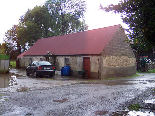 farmyard complex, housefarmyard complex, house · 1376 yd
 StructureStructure, peatland · 1612 yd
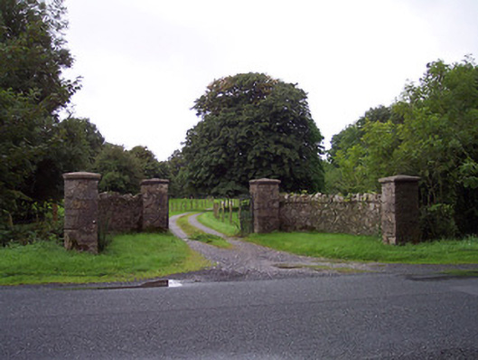 Sidebrook Housegates/railings/walls · 1.0 mi
 Enclosure in OldtownEnclosure · 1.2 mi
 Derrygreenagh HillMountain / peak · 1.8 mi
 CastleCastle, unclassified · 2.1 mi
 Castlelost MoatCastle, motte and bailey · 2.1 mi
 Knockdrin HillMountain / peak · 2.8 mi
 Croghan HillMountain / peak · 3.4 mi
 Finnrenashark Holy WellSpring · 3.6 mi
 Croghan Hill WalkVisitor information · 3.7 mi
 Holy PlantationForest · 5.2 mi
Other information
Photo: Credit not shown in the picture search · Rights wording not checked; contact us if this picture should be removed