What is recorded here
The site (L 20.2m min.; Wth 1.9m; D 0.13m) is orientated N-S and consists of longitudinal roundwoods set 1.2m apart, above which lie closely laid, transverse roundwoods. Pegs (diam. 0.04-0.06m) flank the edges of the site with one peg positioned in the centre. These are set at 45-90°. The wood is in good condition, although some upper surfaces have been damaged due to exposure. Woodworking is evidenced by branch-trimming and a wedge point cut with a metal tool. It lies in well-humified fen peat with Sphagnum and unidentified reeds. This site has been radiocarbon dated to 1937-1644 cal. BC (Wk-11713).
Compiled by: Irish Archaeological Wetland Unit (University College Dublin).
Date of upload: 23 May 2011
The monument record does not grant public access. Check the route and ask the landowner before entering private land.
- What survives
- Recorded monument
Places near here
 StructureStructure, peatland · 197 yd
 RoadRoad, unclassified togher · 1329 yd
 Dooneen FortFairy fort / earthen ringfort · 1.1 mi
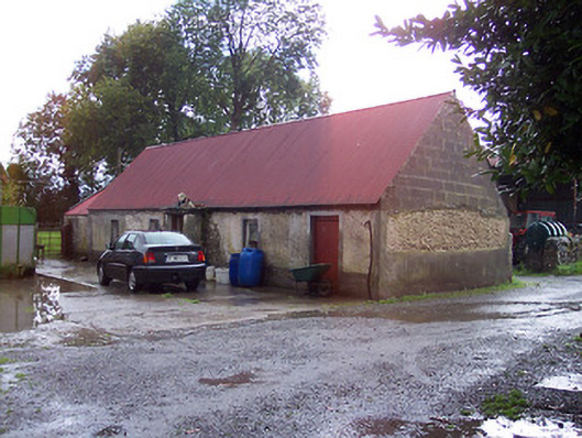 farmyard complex, housefarmyard complex, house · 1.9 mi
 Derrygreenagh HillMountain / peak · 2.1 mi
 OConor Falys or Croghan Castle (in ruins)House, fortified house · 2.3 mi
 Croghan HillMountain / peak · 2.4 mi
 Finnrenashark Holy WellSpring · 2.6 mi
 Croghan Hill WalkVisitor information · 2.7 mi
 Knockdrin HillMountain / peak · 3.0 mi
 Castlelost MoatCastle, motte and bailey · 3.1 mi
 Saint Clavin's WellSpring · 4.5 mi