What is recorded here
The site (L 3.13m; Wth 0.75m; D 0.22m) is orientated NW-SE and consists of five longitudinally and unevenly spaced roundwoods (diam. 0.09-0.16m) which are up two pieces in depth. The wood is in quite poor condition with no woodworking evident. The site lies in poorly to moderately humified Sphagnum peat with ericaceous remains and fibrous roots.
Compiled by: Irish Archaeological Wetland Unit (University College Dublin).
Date of upload: 23 May 2011
The monument record does not grant public access. Check the route and ask the landowner before entering private land.
- What survives
- Recorded monument
Places near here
 RoadRoad, class 1 togher · 56 yd
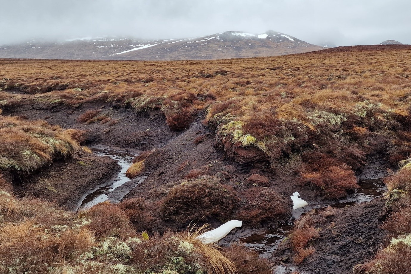 StructureStructure, peatland · 310 yd
 IndicatedEnclosure · 1194 yd
 OutlinedChurch · 1.1 mi
 Mountlucas Wind Farm Visitors CentreVisitor information · 1.4 mi
 Cashlan BrockCastle, tower house · 2.4 mi
 Raheenakeeran Castle (in ruins)Castle, unclassified · 2.6 mi
 Allen family memorial headstoneMemorial · 2.7 mi
 The Lord's WellSpring · 2.8 mi
 Father BurbageMemorial · 3.9 mi
 Geashill Glebe WalkVisitor information · 3.9 mi
 Furzehill WoodWood · 4.5 mi