
What is recorded here
The site (L 167.75m min.; Wth 2.8m; D 0.25m) is orientated NNW-SSE. Overall, it consists of longitudinal brushwood (diam. 0.02-0.055m) and roundwoods (diam. 0.061-0.08m) with occasional transverses between the longitudinals. These are densely packed and two to four pieces in depth. Close to the S extent a single transverse piece of brushwood and two pegs, set 0.44m apart are present at one sighting. This sighting lies in moderately humified Sphagnum peat with large amounts of unidentified reeds and occasional woody roots. The most N sighting survives as a single roundwood. Vertical pegs are present at a number of locations, generally along its E side. The site varies in width (Wth 0.76-2.8m) and depth (D 0.14-0.25m) along its length. Woodworking is evidenced by metal-cut chisel and wedge points and by two split timbers at one sighting. Radiocarbon dated to 363-4 cal. BC (Wk-11721).
Compiled by: Irish Archaeological Wetland Unit (University College Dublin).
Date of upload: 23 May 2011
The monument record does not grant public access. Check the route and ask the landowner before entering private land.
- What survives
- Recorded monument
Places near here
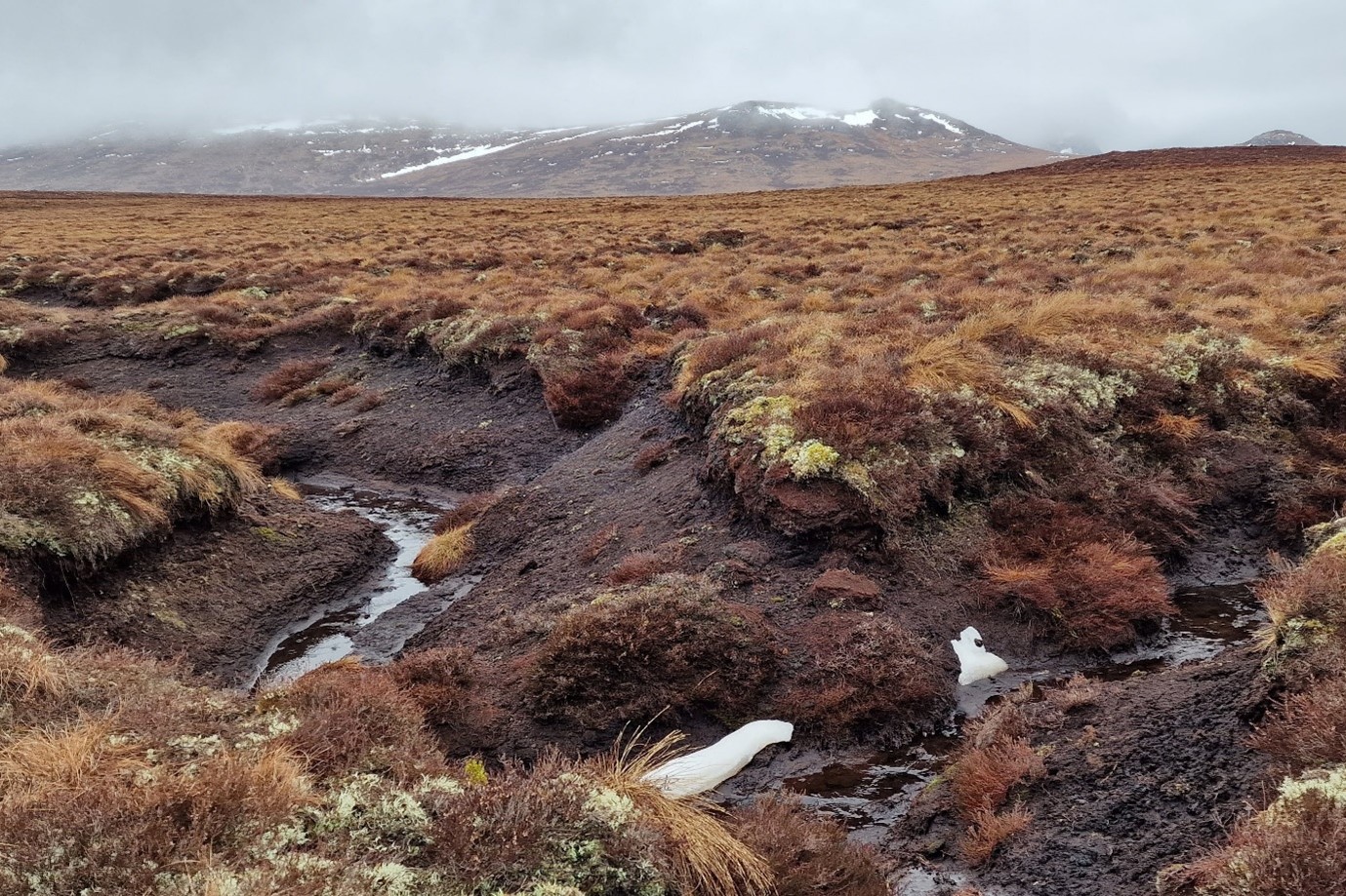 StructureStructure, peatland · 303 yd
 IndicatedEnclosure · 1193 yd
 OutlinedChurch · 1.1 mi
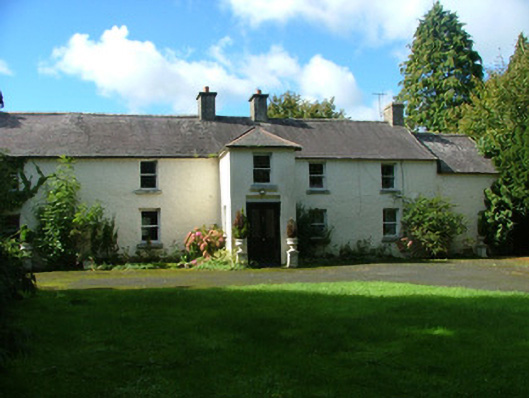 Ballaghassaan Housefarm house · 1.4 mi
 Mountlucas Wind Farm Visitors CentreVisitor information · 1.4 mi
 Cashlan BrockCastle, tower house · 2.4 mi
 Raheenakeeran Castle (in ruins)Castle, unclassified · 2.5 mi
 Allen family memorial headstoneMemorial · 2.7 mi
 The Lord's WellSpring · 2.8 mi
 Father BurbageMemorial · 3.9 mi
 Geashill Glebe WalkVisitor information · 3.9 mi
 Furzehill WoodWood · 4.5 mi
Other information
Photo: Credit not shown in the picture search · Rights wording not checked; contact us if this picture should be removed