What is recorded here
A brushwood and roundwood trackway structure visible in the drain face and on the field surface. It is 3.6m wide and 0.15m deep, aligned east - west and is damaged by milling. It was recorded at one location only but was also traced to the east for 15m. ME046-060---- occurs within a cluster of monuments situated between the western edge of the bog and the dryland-island within the bog. (Bermingham 2014)
Compiled by: David O’Connor
Date of upload: 21 November 2014
The monument record does not grant public access. Check the route and ask the landowner before entering private land.
- What survives
- Recorded monument
Places near here
 EnclosureEnclosure, large enclosure · 609 yd
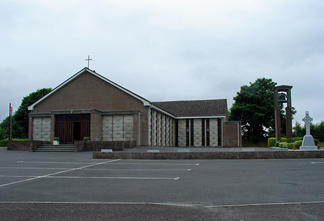 Catholic Church of the Assumptionchurch/chapel · 1.5 mi
 OutlinedFairy fort / earthen ringfort · 1.5 mi
 Kinnegad Bridgebridge · 1.6 mi
 Ardnamullan CastleCastle, tower house · 2.2 mi
 Castle JordanArchaeological place · 2.4 mi
 Rahin WoodsForest · 3.0 mi
 Roundhill WoodForest · 3.2 mi
 Croppies' GraveMemorial · 4.4 mi
 Moat HillMountain / peak · 4.8 mi
 Sli na Slainte - mapVisitor information · 12 mi
 Allen family memorial headstoneMemorial · 12 mi