What is recorded here
A brushwood structure exposed in section in the drain face 0.35m below the surface. The structure is three to four layers deep and comprises a compact and dense horizon of brushwood and heavy roundwoods. It may be aligned N-S and measured 2.9m wide and 0.28m deep. It has an undulating profile and may follow the line of a hummock. It is also present in the opposing drain face and is situated within raised bog peat (Bermingham 2014).
The site was excavated in 2015 (licence: 15E0174). Three distinct archaeological deposits were revealed within the cutting. The site was dated cal. 1281-1048 BC, UBA-31807, and cal. 1387-1060 BC, UBA-31806 (Whitaker 2017).
The S extent of the cutting contained a small possible platform that measured 0.25m x 1.54m in size. It was composed of four SW-NE oriented heavy hazel brushwoods with two supporting transverse light brushwood underneath. A layer of peat lay beneath the structure. The brushwood below was a haphazard arrangement of holly, alder and hazel elements contained within an area measuring 1m x 1.95m. The heavier elements were oriented roughly NW-SE and overlaid the lighter elements that were oriented roughly E-W. Several toolmarked ends were noted within this material.
Located 0.14m to the N was part of a small brushwood hurdle panel composed entirely of hazel. It was truncated by the drain. It measured a maximum of 1.42m x 1.87m and was composed of three sails and 62 light brushwood rods. Eleven elements had toolmarked ends.
A possibly contemporary, E-W oriented arrangement of parallel brushwood two to three elements deep was located 0.54m to the N of the hurdle. It measured 0.96m x 1.66m in size and was composed of closely placed alder, birch, hazel and pomoideae brushwood elements. Several elements had toolmarked ends (Whitaker 2017).
Compiled by: David O’Connor, Edited by: Femke Vleeshouwer, 8th April 2020
Date of upload: 20 November 2014
The monument record does not grant public access. Check the route and ask the landowner before entering private land.
- What survives
- Recorded monument
Places near here
 EnclosureEnclosure, large enclosure · 558 yd
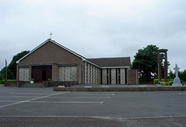 Catholic Church of the Assumptionchurch/chapel · 1.4 mi
 OutlinedFairy fort / earthen ringfort · 1.6 mi
 Kinnegad Bridgebridge · 1.7 mi
 Ardnamullan CastleCastle, tower house · 2.3 mi
 Castle JordanArchaeological place · 2.3 mi
 Rahin WoodsForest · 3.0 mi
 Roundhill WoodForest · 3.2 mi
 Croppies' GraveMemorial · 4.4 mi
 Moat HillMountain / peak · 4.8 mi
 Sli na Slainte - mapVisitor information · 12 mi
 Allen family memorial headstoneMemorial · 12 mi