What is recorded here
The site (L 9.47m; Wth 1.72m; D 0.19m) is orientated E-W consisting of roundwoods and brushwood with two structural layers evident. The substructure consists of roundwoods and brushwood, longitudinally and transversely laid, three pieces deep. The superstructure consists of roundwoods, two pieces deep, and brushwood (diam. 0.027-0.06m), three pieces deep. The elements are longitudinally laid. The heel of a coppiced piece of brushwood has toolmarks. Wood species include hazel, ash, alder and birch. The site is in poorly to moderately humified Sphagnum peat with Eriophorum. The site was radiocarbon dated to 341 BC-AD 48 (UCD-9943).
Compiled by: Irish Archaeological Wetland Unit (University College Dublin).
Date of upload: 23 May 2011
The monument record does not grant public access. Check the route and ask the landowner before entering private land.
- What survives
- Recorded monument
Places near here
 StructureStructure, peatland · 403 yd
 RoadRoad, class 3 togher · 424 yd
 IndicatedEnclosure · 632 yd
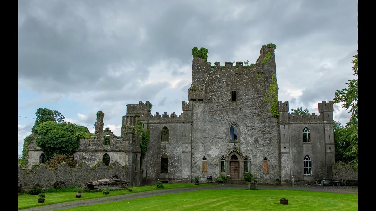 CastleCastle, unclassified · 1.2 mi
 Castle IslandBawn · 1.4 mi
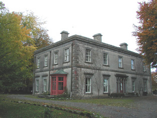 Ballynacard Housecountry house · 1.5 mi
 Lug Holy WellSpring · 2.5 mi
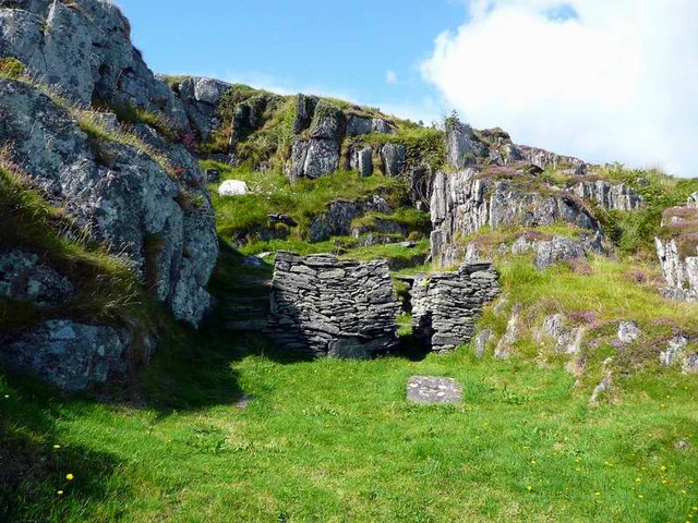 Saint Cormac's WellSpring · 2.7 mi
 Beach ClumpWood · 3.2 mi
 Cloghan HillMountain / peak · 3.2 mi
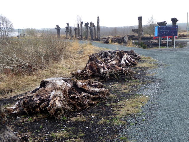 Lough Boora Sculpture ParkMuseum · 4.6 mi
 The Offaly WayWalking route · 5.3 mi