
What is recorded here
Situated on natural rock outcrop (OF030-005002-) on the low-lying floodplains of a nearby river, originally located on a small island known as Castle Island or Lough Coura surrounded by wet marshy land. Little remains of the castle except for a piece of wall fragment and loosely scattered rubble. The building appears to be the remains of a circular tower (approx. int. diam. 4m; wall T 1.2m) with no architectural features visible. To the S of this building there is a lot of loosely piled rubble lying all over the ground surface suggestive of a possible destroyed bawn wall. (Cooke 1875, 238; O' Flanagan 1933, vol. 2, 10)
The above description is derived from the published 'Archaeological Inventory of County Offaly' (Dublin: Stationery Office, 1997). In certain instances the entries have been revised and updated in the light of recent research.
Date of upload: 23 May 2011
Built in the 13th century, Castle Island, Whigsborough was held by the de Lacy family, important Anglo-Norman lords in medieval Ireland. Its strategic location on a natural rock outcrop made it a key defensive site in the control of the surrounding river floodplain.
The monument record does not grant public access. Check the route and ask the landowner before entering private land.
- What survives
- Recorded monument
Places near here
 Sterlings PaddockEnclosure · 266 yd
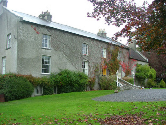 Whigsborough Housecountry house · 1554 yd
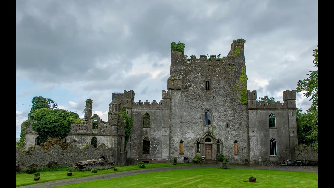 CastleCastle, unclassified · 1614 yd
 StructureStructure, peatland · 1.2 mi
 RoadRoad, class 3 togher · 1.5 mi
 Lug Holy WellSpring · 3.0 mi
 Cloghan HillMountain / peak · 3.5 mi
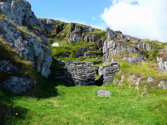 Saint Cormac's WellSpring · 3.8 mi
 Site of Ballindown CastleCastle, unclassified · 3.9 mi
 Woodville WoodWood · 4.1 mi
 Beach ClumpWood · 4.5 mi
 Bullock IslandIsland · 5.4 mi
Other information
Photo: Credit not shown in the picture search · Rights wording not checked; contact us if this picture should be removed