What is recorded here
The site (Wth 2.4m; D 0.25m) is orientated E-W and composed of a superstructure of large transverse roundwoods (diam. 0.15-0.2m), some of which are split. The substructure consists of a small number of longitudinally laid roundwoods and brushwood (diam. 0.025-0.07m) and some pegs. The ends of several transverses are worked into wedge and pencil points. Oak and ash are the predominant species present with some pieces of birch and alder.
Compiled by: Irish Archaeological Wetland Unit (University College Dublin).
Date of upload: 23 May 2011
The monument record does not grant public access. Check the route and ask the landowner before entering private land.
- What survives
- Recorded monument
Places near here
 RoadRoad, class 1 togher · 172 yd
 StructureStructure, peatland · 1197 yd
 Field system in ClorhaneField system · 1701 yd
 Leitra CastleCastle, unclassified · 1750 yd
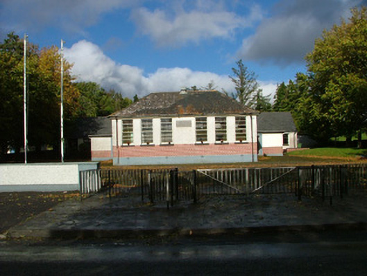 Oliver Plunkett National Schoolschool master's house · 1.2 mi
 Devenish IslandIsland · 1.4 mi
 BarracksCastle, unclassified · 1.5 mi
 Long IslandIsland · 1.5 mi
 Shannonbridge - Nearby AttractionsVisitor information · 1.6 mi
 HawthornHawthorn · 2.6 mi
 Sugarloaf HillMountain / peak · 2.6 mi
 Graveyard in ClonmacnoiseGraveyard · 3.0 mi