What is recorded here
The site (D 0.39m) is orientated SSE-NNW and composed of alternating bundles of brushwood (av. diam. 0.025m) and roundwoods (diam. 0.065-0.13m). Toolmarks were present. The site is cut obliquely by the drain obscuring its width.
Compiled by: Irish Archaeological Wetland Unit (University College Dublin).
Date of upload: 23 May 2011
The monument record does not grant public access. Check the route and ask the landowner before entering private land.
- What survives
- Recorded monument
Places near here
 RoadRoad, class 1 togher · 217 yd
 StructureStructure, peatland · 1231 yd
 Field system in ClorhaneField system · 1749 yd
 Leitra CastleCastle, unclassified · 1.0 mi
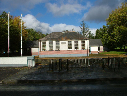 Oliver Plunkett National Schoolschool master's house · 1.2 mi
 Devenish IslandIsland · 1.5 mi
 BarracksCastle, unclassified · 1.5 mi
 Long IslandIsland · 1.5 mi
 Shannonbridge - Nearby AttractionsVisitor information · 1.5 mi
 Sugarloaf HillMountain / peak · 2.6 mi
 HawthornHawthorn · 2.6 mi
 Graveyard in ClonmacnoiseGraveyard · 3.0 mi