What is recorded here
A band (exposed remains 1.6 x 1m) of parallel, longitudinal roundwood (exposed L 0.7m and 1.3m; diam. 0.06m and 0.08m), split timbers and pieces of brushwood (diam. 0.04m) was located on the field surface and was being milled. Transverse brushwood and roundwood extended both under and over the longitudinal elements. Other small and large pieces of brushwood around the edges of the exposed area had no regular orientation and may have been disturbed by milling. The elements were quite substantial. The overall width of the togher was not exposed but was greater than 1m. One large piece of brushwood had a chisel-point end. (Dunne 1999, 50, 99BG0006A)
Compiled by: Mary Tunney based on data supplied by Jane Whitaker, Archaeological Development Services.
Date of upload: 26 August 2011
The monument record does not grant public access. Check the route and ask the landowner before entering private land.
- What survives
- Recorded monument
Places near here
 StructureStructure, peatland · 83 yd
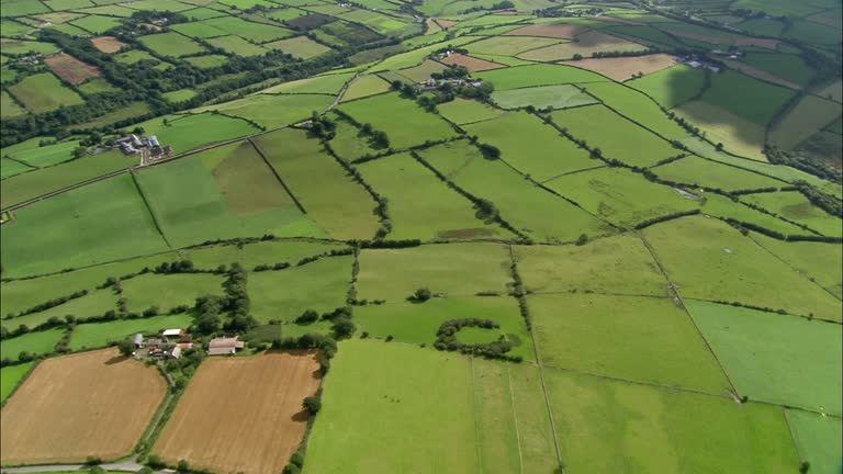 PlatformPlatform, peatland · 111 yd
 RoadRoad, class 2 togher · 506 yd
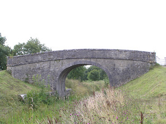 Ballydrum Bridgebridge · 1166 yd
 CastleCastle, tower house · 1.6 mi
 Graveyard in Curry (ardagh By., Coolamber Ed)Graveyard · 2.7 mi
 First World War MemorialMemorial · 3.9 mi
 Bawn in AbbeycartronBawn · 3.9 mi
 Saint Mel's CathedralCathedral · 4.0 mi
 Commons North WalkVisitor information · 4.9 mi
 Wild birdsVisitor information · 5.1 mi
 White Sand WoodWood · 5.4 mi