What is recorded here
The site (L 7.2m min.; Wth 1.48m; D 0.08m) is orientated WNW-ESE and consists of regularly laid roundwoods (diam. 0.065-0.12m), brushwood (diam. 0.02-0.05m.), twigs and two split timbers. The elements are densely packed and laid longitudinally. The timbers, roundwoods and heavy brushwood make up the main body of the site, with the lighter brushwood and twigs deposited between and on either side of them. The wood is in poor to moderate condition. It lies in moderately humified Sphagnum peat. Radiocarbon dated to 3695-3380 cal. BC (Wk-11733).
Compiled by: Irish Archaeological Wetland Unit (University College Dublin).
Date of upload: 23 May 2011
The monument record does not grant public access. Check the route and ask the landowner before entering private land.
- What survives
- Recorded monument
Places near here
 Church (in ruins)Church · 1542 yd
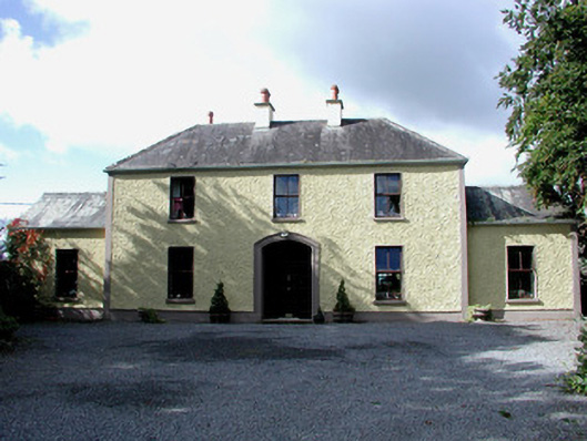 Cloncrane Housefarm house · 1556 yd
 Sli na Slainte - mapVisitor information · 1.8 mi
 Site of CastleCastle, unclassified · 1.9 mi
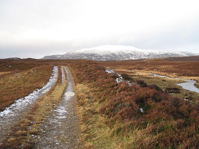 StructureStructure, peatland · 2.0 mi
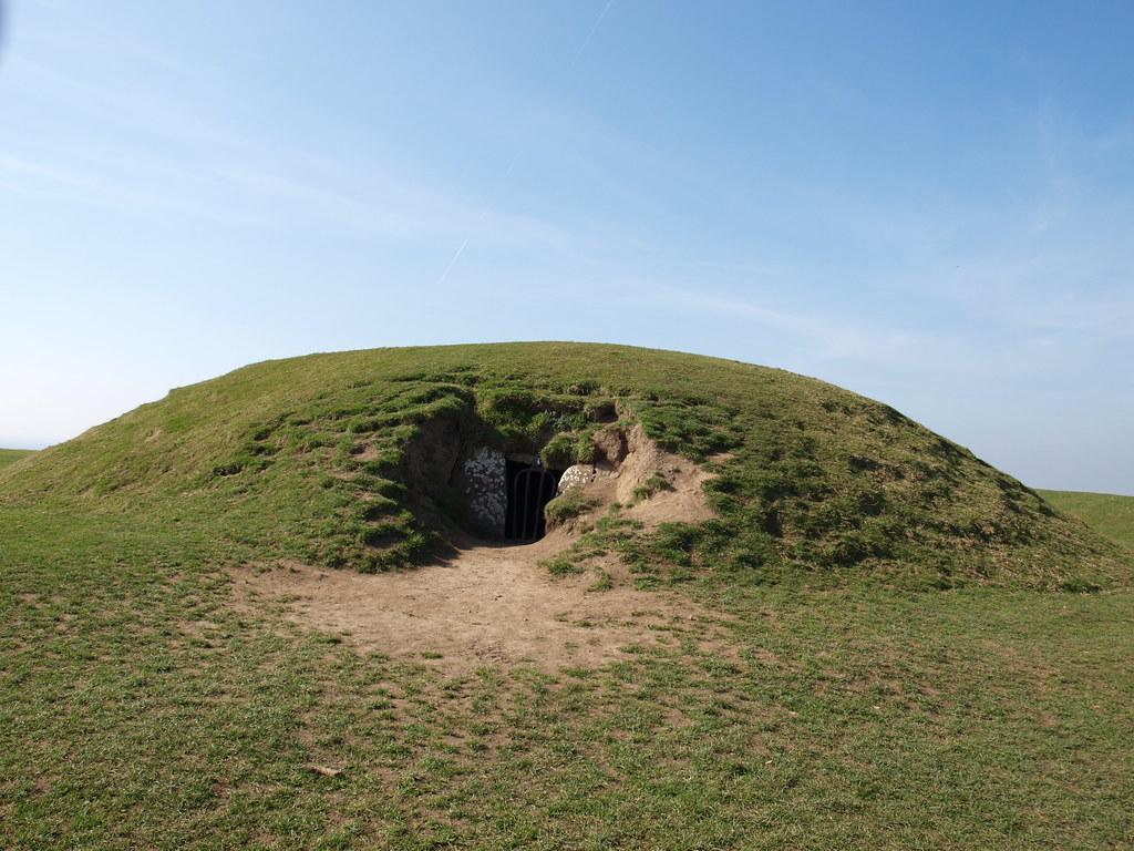 Burnt mound in Ballynakill (coolestown By.)Burnt mound · 2.1 mi
 Allen family memorial headstoneMemorial · 2.8 mi
 Mountlucas Wind Farm Visitors CentreVisitor information · 4.3 mi
 Site of MonasteryCastle, unclassified · 4.8 mi
 Killinthomas Wood (Rathangan)Wood · 5.3 mi
 Victoria PlantationWood · 5.6 mi
 Bithia Mary CrokerMemorial · 6.3 mi