What is recorded here
The site (L 2m min.; Wth 2.15m; D 0.08m) is orientated NE-SW on the field surface It consists of longitudinal brushwood (diam. 0.015-0.055m), one to three pieces deep, with four beds of twigs (Wth 0.1-0.3m) interspersed amongst them. The twigs are packed between the brushwood in places. Towards the W extent, there is a c. 0.6m wide band where the wood is densely packed, but the remainder of the site is sparsely laid. The site is in moderately humified Sphagnum peat with ericaceous remains and occasional Eriophorum. SMR OF019-043---- is 1.3m to the E, SMR OF019-044---- is 3.8m to the W and it is site is 4.8m W of the N end of SMR OF019-041----.
Compiled by: Irish Archaeological Wetland Unit (University College Dublin).
Date of upload: 23 May 2011
The monument record does not grant public access. Check the route and ask the landowner before entering private land.
- What survives
- Recorded monument
Places near here
 StructureStructure, peatland · 372 yd
 RoadRoad, class 2 togher · 452 yd
 OutlinedFairy fort / earthen ringfort · 950 yd
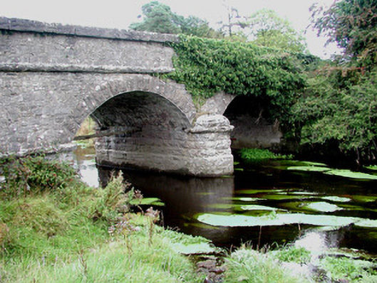 Kilcumber Bridgebridge · 1446 yd
 Site of CastleCastle, unclassified · 1.1 mi
 Sli na Slainte - mapVisitor information · 2.8 mi
 Site of MonasteryCastle, unclassified · 3.3 mi
 Allen family memorial headstoneMemorial · 4.3 mi
 Victoria PlantationWood · 5.4 mi
 Killinthomas Wood (Rathangan)Wood · 5.5 mi
 Clonin EarthworksMountain / peak · 6.0 mi
 The Fairy BowerHeritage attraction · 6.2 mi