What is recorded here
The site (L 2.78m min.; Wth 0.8m; D 0.1m) is orientated N-S and consists of densely laid, longitudinal mixed brushwood and twig beds. The wood is in a good condition, although all of the elements are fragmentary due to milling. It lies in poorly humified Sphagnum peat with Eriophorum, ericaceous remains and fibrous roots.
Compiled by: Irish Archaeological Wetland Unit (University College Dublin).
Date of upload: 23 May 2011
The monument record does not grant public access. Check the route and ask the landowner before entering private land.
- What survives
- Recorded monument
Places near here
 StructureStructure, peatland · 286 yd
 RoadRoad, class 2 togher · 345 yd
 OutlinedFairy fort / earthen ringfort · 1006 yd
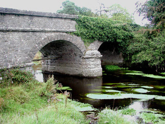 Kilcumber Bridgebridge · 1445 yd
 Site of CastleCastle, unclassified · 1.1 mi
 Sli na Slainte - mapVisitor information · 2.8 mi
 Site of MonasteryCastle, unclassified · 3.3 mi
 Allen family memorial headstoneMemorial · 4.3 mi
 Victoria PlantationWood · 5.4 mi
 Killinthomas Wood (Rathangan)Wood · 5.5 mi
 Clonin EarthworksMountain / peak · 6.0 mi
 The Fairy BowerHeritage attraction · 6.2 mi