What is recorded here
The site (Wth 2.9m; D 0.39m) is orientated N-S and consists of two distinct layers with the upper layer truncated by the drain. The horizontal components of both layers are predominantly placed longitudinally. The substructure (Wth 2.45m; D 0.14m) is comprised of heavy brushwood four pieces deep. Towards the E end of the exposure numerous pegs (diam. 0.03-0.1m) were recorded, which may have been associated with either layer. The upper horizon (Wth 2.6m; D 0.25m) is composed of a compact layer of mixed brushwood and twigs more than ten pieces deep. There is substantial evidence for woodworking in the form of metal-cut chisel and wedge points. Birch dominates the wood assemblage, followed in importance by willow and lesser amounts of oak, hazel, Pomoideae and ash. It is located in well-humified, woody Sphagnum peat with occasional Menyanthes seeds. This site has been radiocarbon dated to cal. AD 978-1214 (Beta-118040).
Compiled by: Irish Archaeological Wetland Unit (University College Dublin).
Date of upload: 23 May 2011
The monument record does not grant public access. Check the route and ask the landowner before entering private land.
- What survives
- Recorded monument
Places near here
 StructureStructure, peatland · 250 yd
 RoadRoad, class 3 togher · 277 yd
 Enclosure in Kilcolgan MoreEnclosure · 1717 yd
 Kilcolgan Castle (in Ruins), Tower (in Ruins)Bawn · 1.1 mi
 St. Managhans ChurchChurch · 1.1 mi
 Lemanaghan CastleCastle, tower house · 1.1 mi
 European ashEuropean ash · 1.1 mi
 Cocta HillMountain / peak · 2.0 mi
 Saint Reaghan's WellSpring · 2.3 mi
 Ballylin Bog BoardwalkHeritage attraction · 2.9 mi
 Endrim HillMountain / peak · 3.9 mi
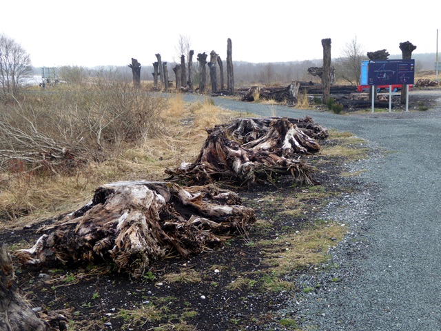 Lough Boora Sculpture ParkMuseum · 4.6 mi