What is recorded here
Originally recorded as a togher (L 135m; Wth 1.4-3.9m; T 0.10-0.60m) extending across nine fields. It was being milled but was evident on the field surface and also in drain faces at a depth of up to 0.85m. A transverse superstructure was composed of large planks (L 2.5m max.), split timbers, roundwood and brushwood. The longitudinal E-W substructure was of roundwood (diam. 0.22m max.), brushwood and split timbers. Some of the brushwood was laid in a random manner and bark was evident in places between the rods of the togher. Numerous pegs (diam. 0.035-0.055m; exposed L 0.45m max.) were visible, some with well-preserved worked ends. A flat stone (L 0.25m max.) was incorporated into the surface of the remains (Dunne 1999, 48, 99BG002A-J). Excavation in 2002 revealed that the togher originated in the Bronze Age (900-905 BC) and that the longitudinal roundwood of the substructure was secured by a line of outer posts (Whitaker 2009, 33).
Compiled by: Mary Tunney based on data supplied by Jane Whitaker, Archaeological Development Services.
Date of upload: 26 August 2011
The monument record does not grant public access. Check the route and ask the landowner before entering private land.
- What survives
- Recorded monument
Places near here
 StructureStructure, peatland · 101 yd
 PlatformPlatform, peatland · 118 yd
 RoadRoad, class 2 togher · 489 yd
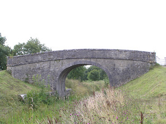 Ballydrum Bridgebridge · 1164 yd
 CastleCastle, tower house · 1.6 mi
 Graveyard in Curry (ardagh By., Coolamber Ed)Graveyard · 2.7 mi
 First World War MemorialMemorial · 3.9 mi
 Bawn in AbbeycartronBawn · 3.9 mi
 Saint Mel's CathedralCathedral · 4.0 mi
 Commons North WalkVisitor information · 4.9 mi
 Wild birdsVisitor information · 5.1 mi
 White Sand WoodWood · 5.4 mi