
What is recorded here
National Monument No. 677. This togher (L 1km min.; Wth 4m; D 0.5m), discovered in 1984, was constructed of large oak planks. It ran in an ESE-WNW direction from dry land in the E to an island of dry land in the bog to the W. The planks (L 10m max.) were laid transversely on parallel large runners that were placed longitudinally. It bears comparison to another togher (LF022-055008-) and is of a similar date. A number of wooden artifacts were found in association with it. Dendrochronological dating revealed a date of 148 BC (Q5631). A section of this togher (L 18m) from Cloonbreany townland has been conserved and is now on display at the Corlea Visitor Centre, which was built on the exact axis of the trackway in the bog. (Raftery 1986; 1990, 37-46; 51-61; 1996, Corlea 1, 7-55; Moore 2007, No. 9)
Compiled by: Mary Tunney based on data supplied by the former Irish Archaeological Wetland Unit, University College, Dublin.
The attached image was taken by Prof. Barry Raftery and is uploaded courtesy of the Department of Archaeology, University College Dublin.
Date of upload: 26 August 2011
The monument record does not grant public access. Check the route and ask the landowner before entering private land.
- What survives
- Recorded monument
Places near here
 Corlea Trackway Interpretative CentreHeritage attraction · 14 yd
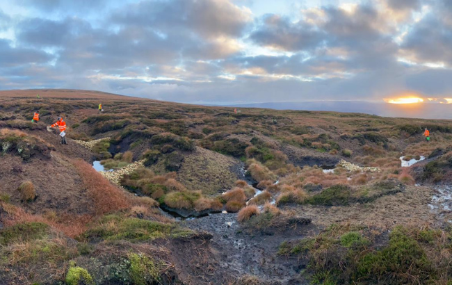 PlatformPlatform, peatland · 355 yd
 Corlea Bog Walk Canal BranchWalking route · 499 yd
 Corlea Bog Walk Blue LoopWalking route · 584 yd
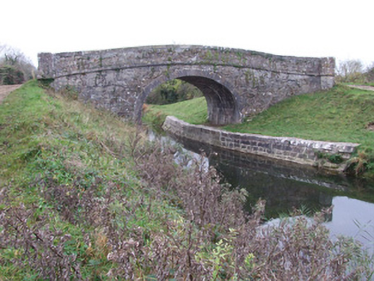 Cloonbreany Bridgebridge · 1394 yd
 canal overflowcanal overflow · 1546 yd
 CastleCastle, unclassified · 1.1 mi
 Fulacht fia in DerryloughFulacht fia · 1.4 mi
 Bawn in BallyknockBawn · 1.9 mi
 Leveret IslandIslet · 5.3 mi
 Graveyard in Curry (ardagh By., Coolamber Ed)Graveyard · 5.3 mi
 Culnagore WoodForest · 5.3 mi
Other information
Photo: milezero · CC BY-SA 2.0