
What is recorded here
This togher (L 400m; Wth 2.6m), noted in 1988, comprised two layers of roundwood and split logs (L 2.6m; av. diam. 0.15m), mainly of alder, laid transversely upon roundwood runners (diam. 0.25-0.3m). Pegs (diam. 0.08-0.1m; L 0.4-0.8m) were present at both sides and stone toolmarks were evident on some timbers. The orientation was E-W. At its E end, 150m from dryland, the roadway forked into two diverging lines. Although the excavation took place in Mount Davys townland, the monument is known in the literature as Cloonbony, the name of the bog. Radiocarbon dated to 2620-2471 BC (4035±25 BP, GrN-16874). (Raftery 1990, 11-14; 1996, Cloonbony, 180-94; Casparie and Moloney 1992, 69-88)
Compiled by: Mary Tunney based on data supplied by the former Irish Archaeological Wetland Unit, University College, Dublin.
The attached image was taken by Prof. Barry Raftery and is uploaded courtesy of the Department of Archaeology, University College Dublin.
Date of upload: 26 August 2011
The monument record does not grant public access. Check the route and ask the landowner before entering private land.
- What survives
- Recorded monument
Places near here
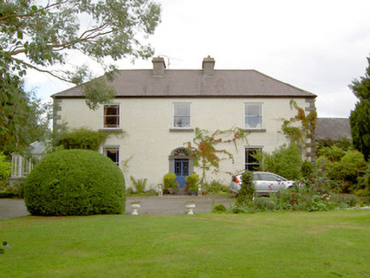 Cloonbony Househouse · 1078 yd
 StructureStructure, peatland · 1.1 mi
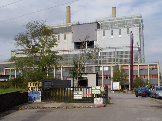 Lough Ree Power Stationturf/peat fired power station · 1.2 mi
 IndicatedCrannog · 1.3 mi
 Commons North WalkVisitor information · 1.6 mi
 Wild birdsVisitor information · 1.8 mi
 Ballyclare IslandIslet · 2.3 mi
 White Sand WoodWood · 2.3 mi
 Rathcline CastleBawn · 2.8 mi
 CastleCastle, tower house · 4.3 mi
 FerrinchIslet · 4.3 mi
 Slieve BawnMountain / peak · 4.9 mi
Other information
Photo: Credit not shown in the picture search · Rights wording not checked; contact us if this picture should be removed