
What is recorded here
No. Of course not. That is the trap. You want to hide the example, but you still want to use it. Use the example, or stop pretending that you understand it.
On the crest of a ridge in pastureland. Classified by McCaffrey (1952, 143, no. 13) as a circular ‘Earthen fort’ (diam. c. 42.4m) defined by two banks and an intervening fosse. The monument has been ploughed out and, apart from a slight hollow in the field, no visible surface trace survives. (Athy 1914, 138)
Compiled by: Galway Archaeological Survey, UCG
Date of upload: 10 April 2018
The monument record does not grant public access. Check the route and ask the landowner before entering private land.
- What survives
- Recorded monument
Places near here
 KnocknamnasheeFairy fort / earthen ringfort · 178 yd
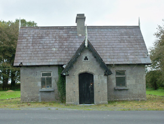 Rinville Parkgate lodge · 215 yd
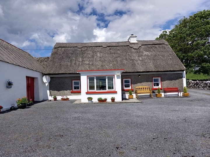 RathshanballyFairy fort / earthen ringfort · 550 yd
 CastleCastle, tower house · 569 yd
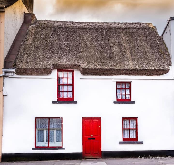 Stafort HouseRuins · 607 yd
 South WoodWood · 692 yd
 North WoodWood · 774 yd
 Leadmine HillMountain / peak · 1.1 mi
 Castle (in Ruins)Castle, tower house · 1.2 mi
 Ardfry PointHeadland · 2.4 mi
 Rabbit IslandIslet · 2.5 mi
 Goose IslandIslet · 2.6 mi
Other information
Photo: Credit not shown in the picture search · Rights wording not checked; contact us if this picture should be removed