What is recorded here
On a ridge in undulating pastureland. Subcircular rath (34m NW-SE), in fair condition, defined
by two banks and an intervening fosse. The inner bank survives all round but is overlain by a later field wall from N to E. The fosse and intermittent traces of the outer bank are visible except from N to E where the steep natural slope of the ridge provided adequate defence. A trackway cuts through the monument at WNW and ESE. According to McCaffrey (1952, 143-4, no. 14) a possible enclosure (GA095-128002-) lay immediately to the W. (Athy 1914, 138-9)
Compiled by: Galway Archaeological Survey, UCG
Date of upload: 9 April 2018
Rathshanbally, Rinville West is a subcircular early-medieval ringfort, likely dating to between the 5th and 10th centuries AD, situated on a ridge in pastoral countryside. While no specific folklore is recorded for this site, like many such forts in Ireland, it may have been associated with local legends of fairies or ancient inhabitants in folk tradition.
The monument record does not grant public access. Check the route and ask the landowner before entering private land.
- What survives
- Recorded monument
Places near here
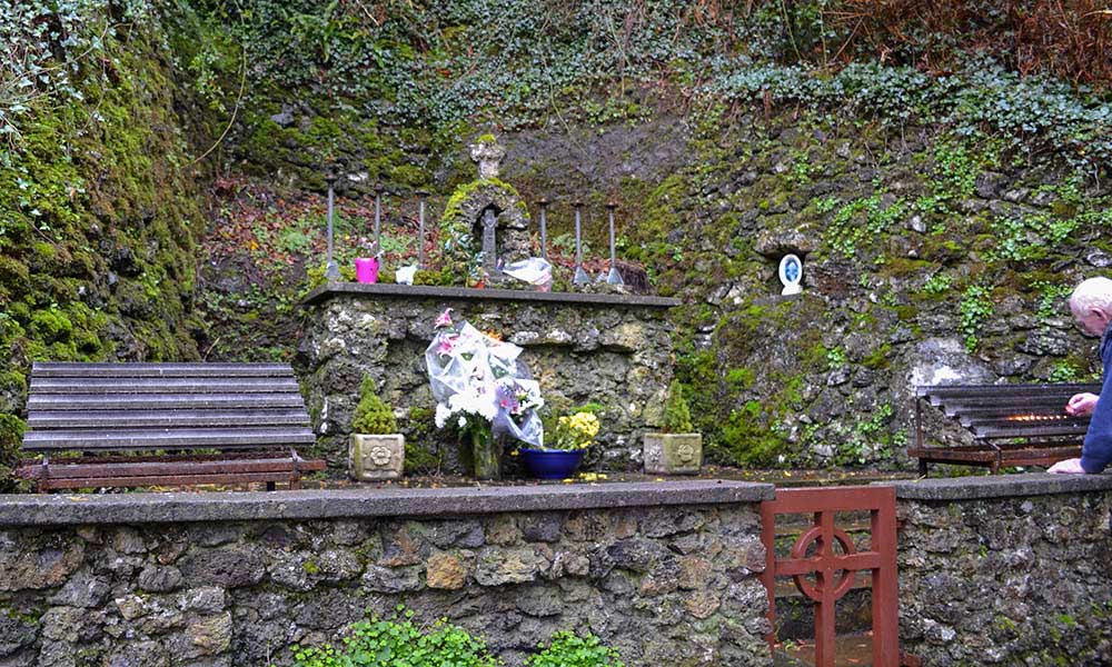 Holy well in Rinville WestHoly well · 267 yd
 RathcommonFairy fort / earthen ringfort · 329 yd
 CastleCastle, tower house · 373 yd
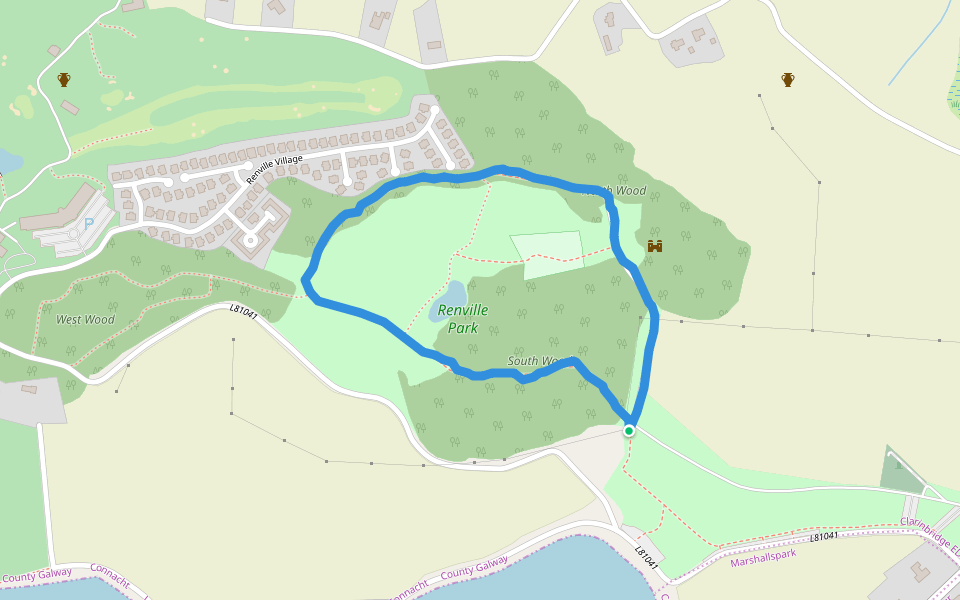
 North WoodWood · 468 yd
 South WoodWood · 602 yd
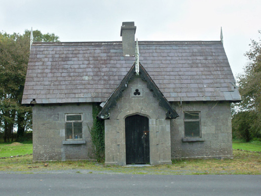 Rinville Parkgate lodge · 758 yd
 Renville HallRuins · 809 yd
 Leadmine HillMountain / peak · 1692 yd
 Castle (in Ruins)Castle, tower house · 1.2 mi
 Rabbit IslandIslet · 2.2 mi
 Ardfry PointHeadland · 2.4 mi
 Goose IslandIslet · 2.7 mi
Other information
Photo: Credit not shown in the picture search · Rights wording not checked; contact us if this picture should be removed