What is recorded here
Ring of Gullion Way - Section 4 is recorded as a walking route in County Armagh. Its open map record supplies this location and any linked names or public references.
Places near here
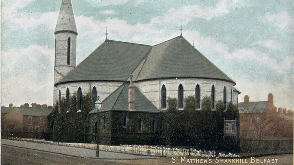 CHURCH SITE & CROSS-CARVED BOULDER: THE SHANKILL in CloghinnyCHURCH SITE & CROSS-CARVED BOULDER: THE SHANKILL · 1114 yd
 Ring of Gullion Way - ForkhillVisitor information · 1544 yd
 Forkhill Greenspace PathwayWalking route · 1.0 mi
 CroslieveMountain / peak · 1.0 mi
 Mass Rock Loop TrailWalking route · 1.3 mi
 ENCLOSURE in CarrickastickanENCLOSURE · 1.3 mi
 TievecromMountain / peak · 1.3 mi
 IndicatedChurch · 1.8 mi
 Slieve GullionMountain / peak · 1.9 mi
 Bawn in DungoolyBawn · 2.1 mi
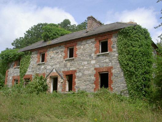 Dungooly Millmiller's house · 2.1 mi
 Ring of GullionRing of hills and protected landscape · 2.4 mi