What is recorded here
Cropmark of circular-shaped ring ditch (approx. diam. 6m) visible on Google Earth aerial imagery taken 28/06/2018.
See attached image taken from Google Earth.
Compiled by: Caimin O'Brien based on details provided by Seán Sourke
Date of upload: 20 April 2021
The monument record does not grant public access. Check the route and ask the landowner before entering private land.
- What survives
- Recorded monument
Places near here
 Castle (in Ruins)House, fortified house · 996 yd
 Church in Brewel WestChurch · 1241 yd
 CastleCastle, unclassified · 1550 yd
 Enclosure in Brewel East OR MervilleEnclosure · 1.1 mi
 RaheensEnclosure · 1.1 mi
 HawthornHawthorn · 1.4 mi
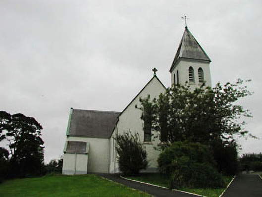 Saint Joseph's Catholic Churchchurch/chapel · 1.9 mi
 Memorial to 1798 rebellionMonument · 2.2 mi
 Narraghmore Nature ReserveForest · 2.3 mi
 1798 memorial stoneMonument · 4.2 mi
 Battle of Kilrushbattle · 4.8 mi
 Burial ground in CrehelpBurial ground · 4.9 mi