What is recorded here
Located at the crest of the E-facing slope of a low hill. The cropmark of a circular area (diam. c. 10-11m) defined by a continuous fosse is visible on iMAPs 2022. It is also visible on Google Earth (14/07/2018) and MapGenie (2004-06). It was first reported by Jean Charles Caillére.
See the attached enhanced view from iMAPs (2022)
Compiled by: Michael Moore
Date of upload: 6 June 2023
The monument record does not grant public access. Check the route and ask the landowner before entering private land.
- What survives
- Recorded monument
Places near here
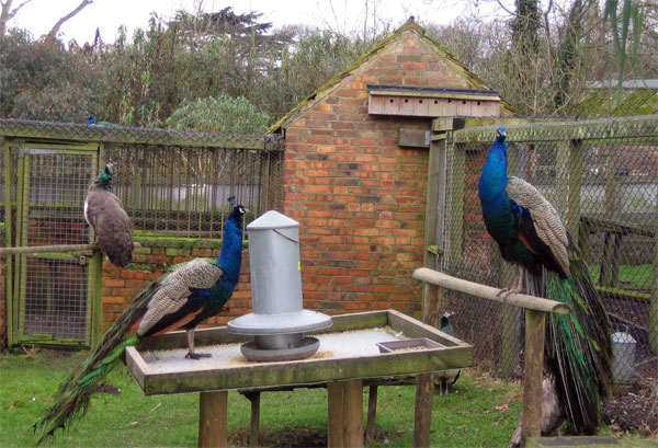 Enclosure in Upton (ballaghkeen By.)Enclosure · 467 yd
 Holy WellHoly well · 523 yd
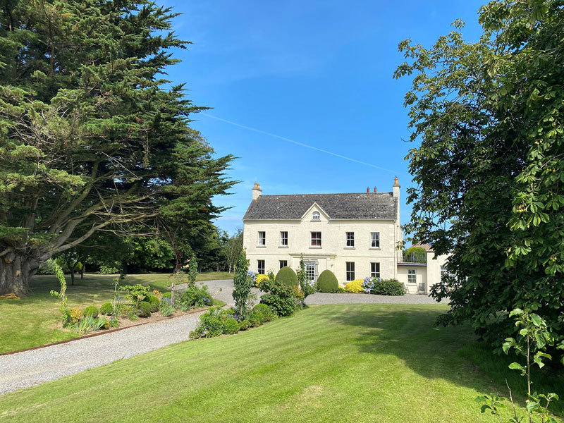 Litterbeg Housefarm house · 754 yd
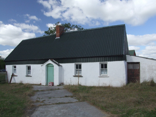 farm housefarm house · 1078 yd
 Site of Morris CastleCastle, unclassified · 1242 yd
 Castle Anneslwy (in ruins)Bawn · 1392 yd
 Morriscastle BeachBeach / strand · 1.4 mi
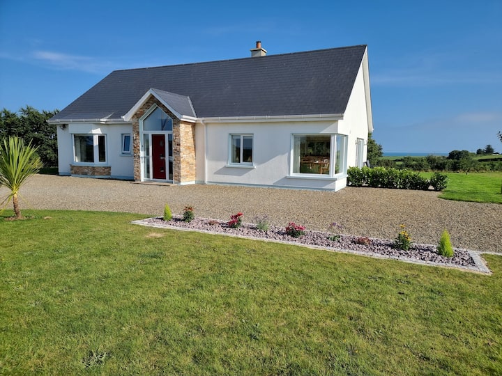 Tinnaberna BeachBeach / strand · 2.5 mi
 The Cahore Polders and DunesNature reserve · 2.6 mi
 Shrule Deer FarmHeritage attraction · 2.9 mi
 Bird BoxesVisitor information · 2.9 mi
 Birds of PreyVisitor information · 2.9 mi