
What is recorded here
Marked on the 1839 and 1924 eds of the OS 6-inch map, and described as a holy well on both. It is located towards the bottom of the E-facing slope of a low N-S ridge. This is a natural spring against a N-S field bank and townland boundary, but there is no evidence of, or record of, veneration. The church site (WX022-013001-) is c. 100m to the W.
Compiled by: Michael Moore
Date of upload: 18 June, 2012
A local holy well or ritual site; wider significance not recorded.
The monument record does not grant public access. Check the route and ask the landowner before entering private land.
- What survives
- Recorded monument
Places near here
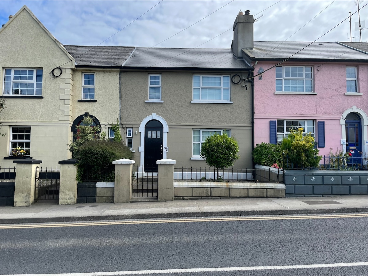 Habitation site in Upton (ballaghkeen By.)Habitation site · 68 yd
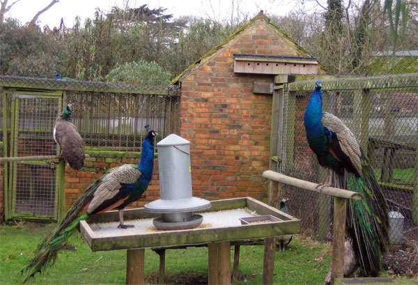 Enclosure in Upton (ballaghkeen By.)Enclosure · 113 yd
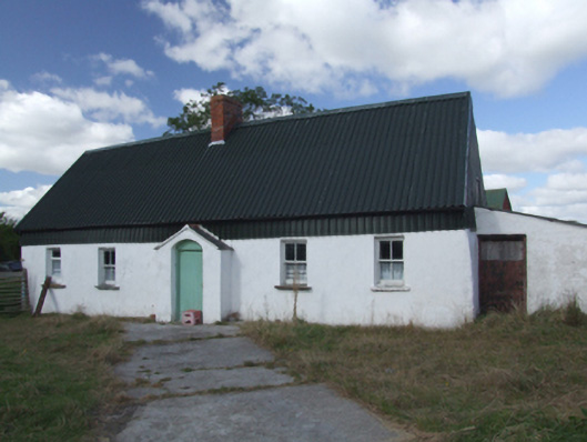 farm housefarm house · 660 yd
 Site of Morris CastleCastle, unclassified · 1208 yd
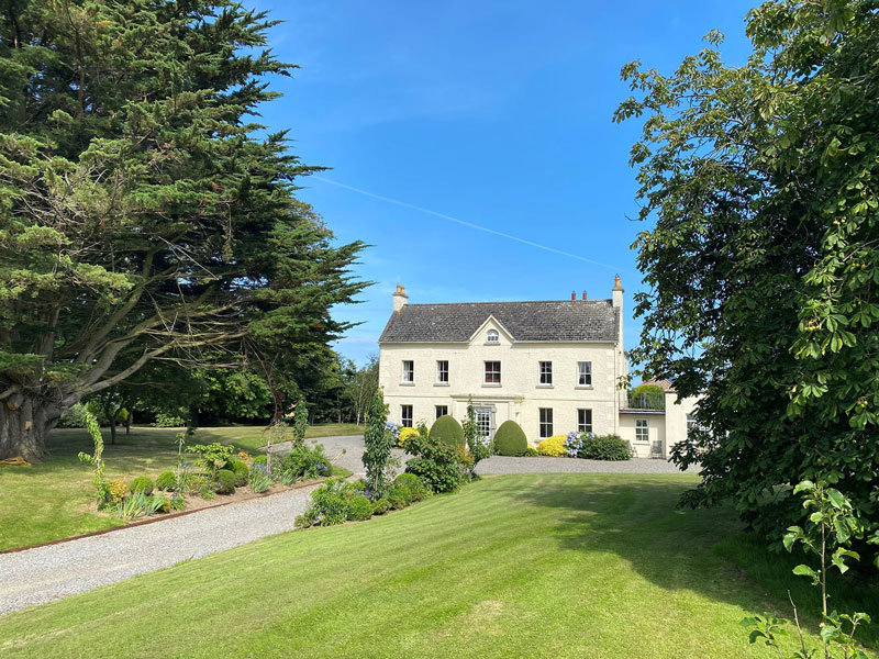 Litterbeg Housefarm house · 1246 yd
 Castle Anneslwy (in ruins)Bawn · 1624 yd
 Morriscastle BeachBeach / strand · 1.5 mi
 The Cahore Polders and DunesNature reserve · 2.4 mi
 Shrule Deer FarmHeritage attraction · 2.6 mi
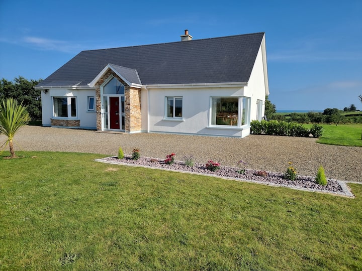 Tinnaberna BeachBeach / strand · 2.7 mi
 Bird BoxesVisitor information · 2.9 mi
 Birds of PreyVisitor information · 2.9 mi
Other information
Photo: Credit not shown in the picture search · Rights wording not checked; contact us if this picture should be removed