What is recorded here
Two-Pot-House holds a tiny ten-metre ring-ditch beside a larger ringfort, connected by straight cropmarks that cut across the land like forgotten roads. The small circle may have served as a kitchen, shrine or prison for the fort, yet no written account survives to confirm its purpose. Aerial photography revealed the ditch only in 1970, suggesting the earth concealed the arrangement long before instruments lifted it into view.
Cropmark of fosse of small circular enclosure (diam. c. 10m) visible in aerial photograph (CUCAP, BDS13, July 1970). Linear cropmark (L c. 30m) extends NW from enclosure to edge of outer fosse of ringfort (CO025-011---). Second similar cropmark at right angles extends to NE. Circular enclosure (CO025-14601-) c. 10m to S.
The above description is derived from the published 'Archaeological Inventory of County Cork. Volume 4: North Cork' (Dublin: Stationery Office, 2000). In certain instances the entries have been revised and updated in the light of recent research.
Date of upload/revision: 14 January 2009
The monument record does not grant public access. Check the route and ask the landowner before entering private land.
- What survives
- Recorded monument
Places near here
 Enclosure in Two-Pot-HouseEnclosure · 100 yd
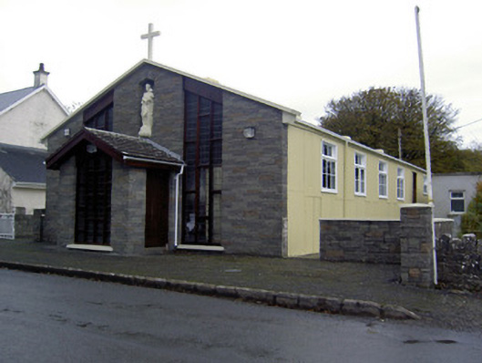 church/chapelchurch/chapel · 797 yd
 Caherduggan Castle (Site of)Castle, unclassified · 893 yd
 Hazelwood Housegate lodge · 1095 yd
 Man-made underground passage in BanefuneMan-made underground passage · 1172 yd
 CastleCastle, unclassified · 1.8 mi
 Charles BunworthMemorial · 2.3 mi
 In loving memory of Elvis O'DonoghueMemorial · 4.6 mi
 Mallow River TrailVisitor information · 4.7 mi
 Lady's WellSpring · 5.1 mi
 Dromaneen CastleHeritage attraction · 6.1 mi
 Anne's Grove GardensHeritage attraction · 7.4 mi